Portfolio · 2017 – 2026

The ground speaks
We turn it into decisions.

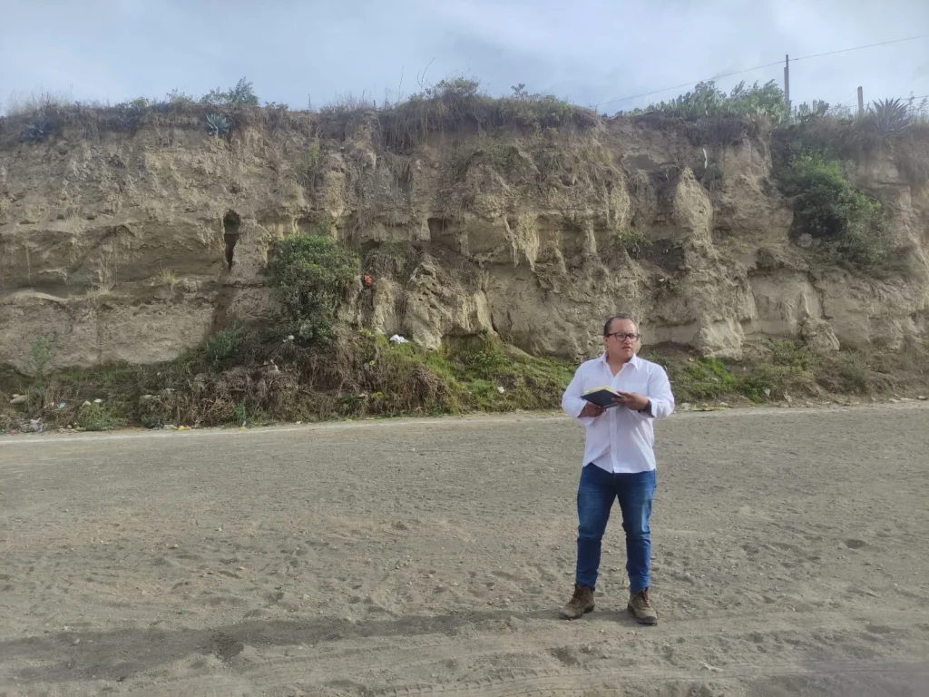
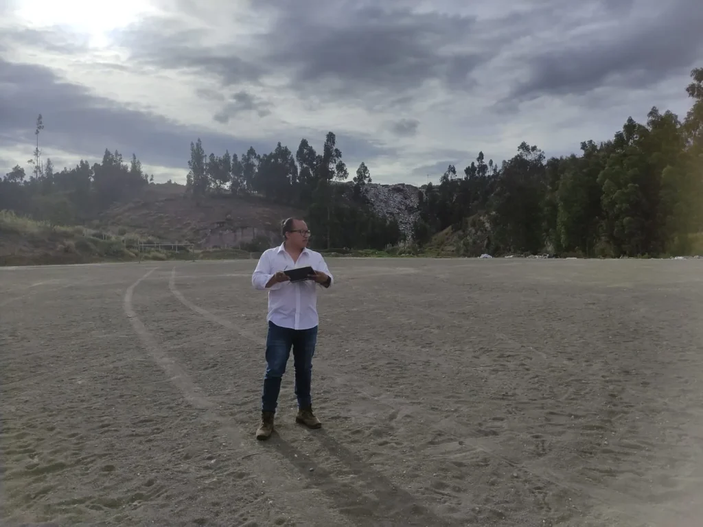
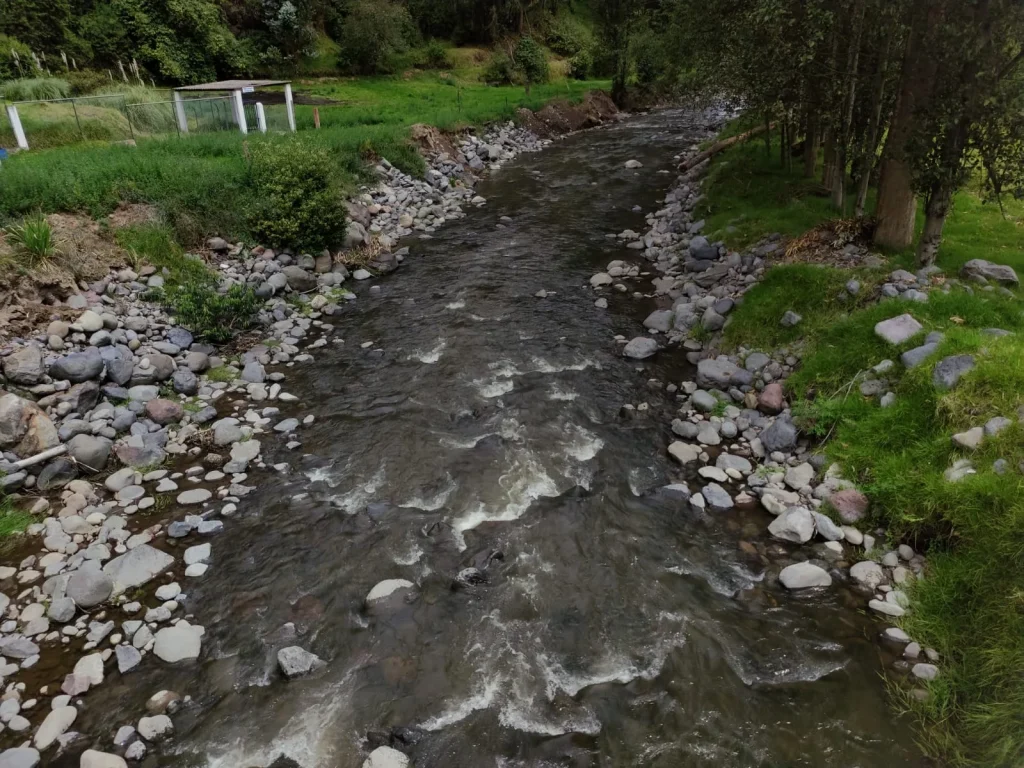
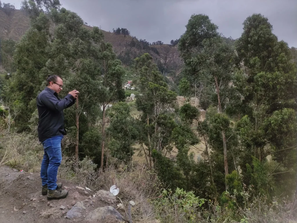
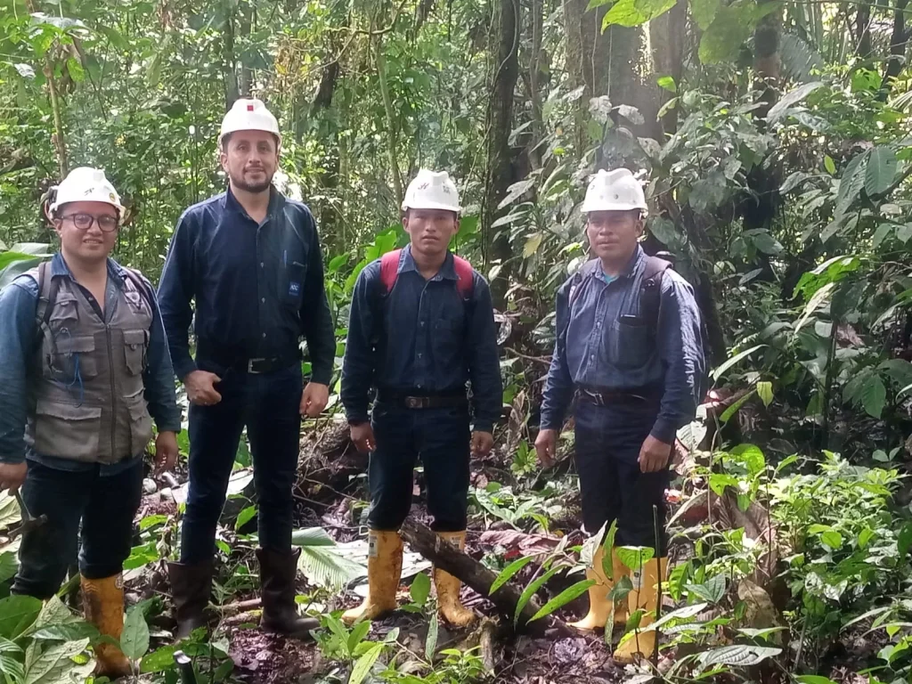
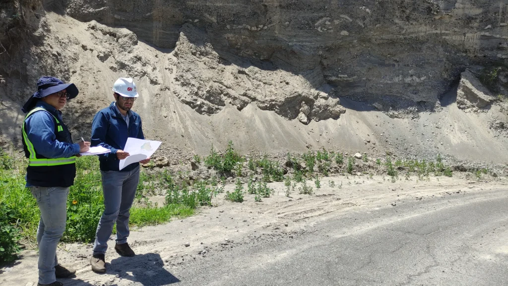
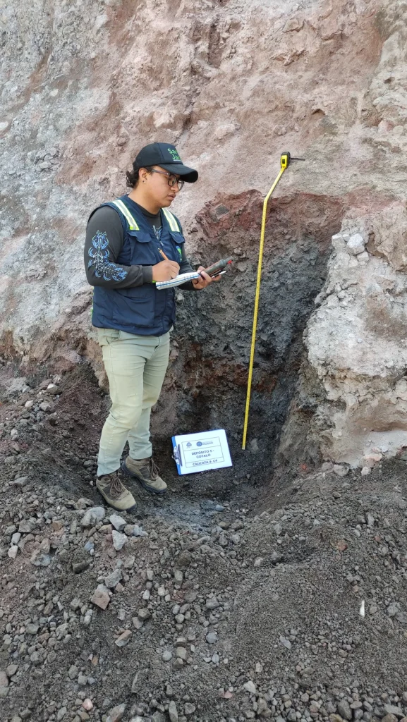
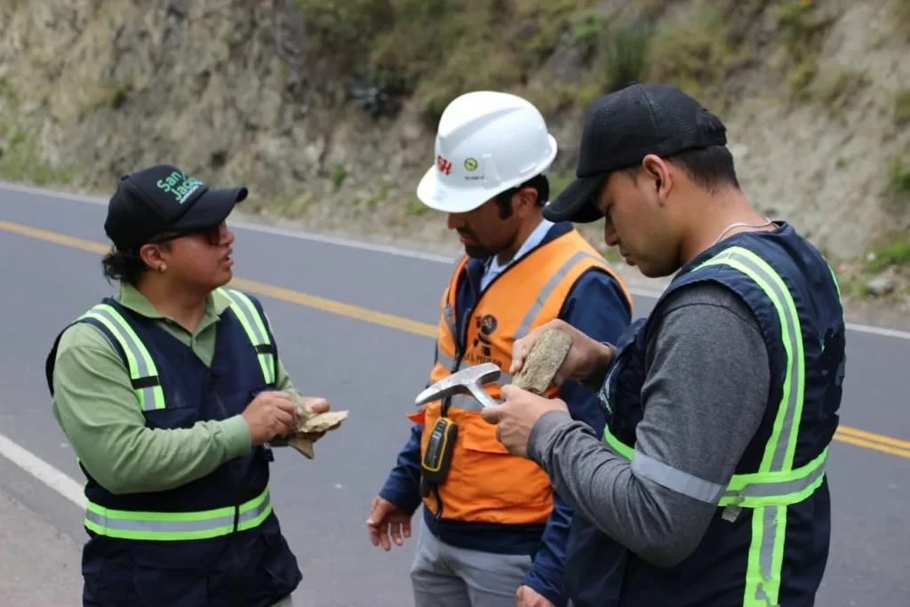
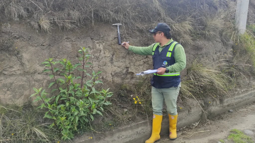
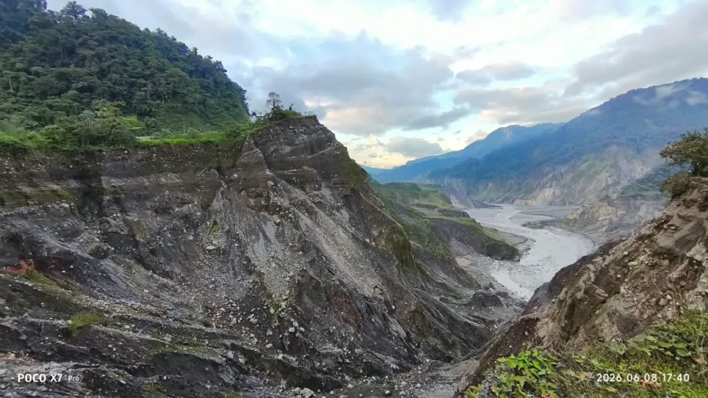
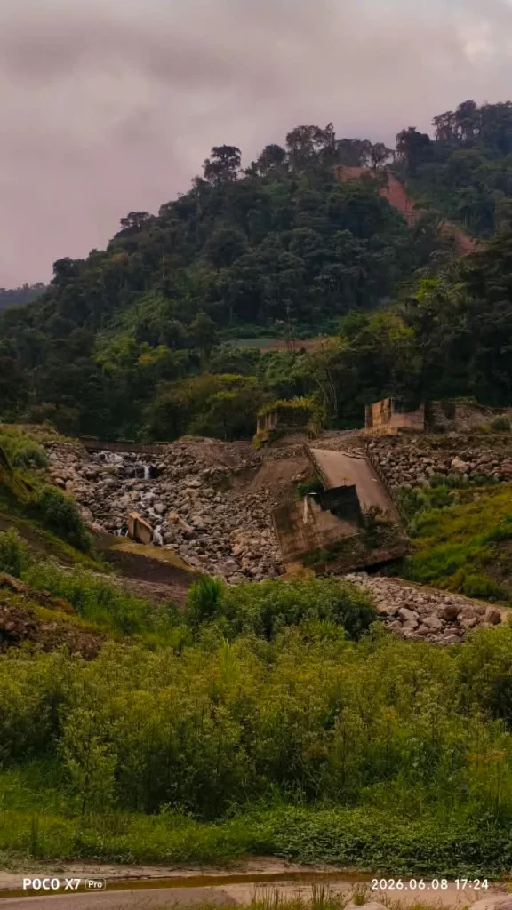
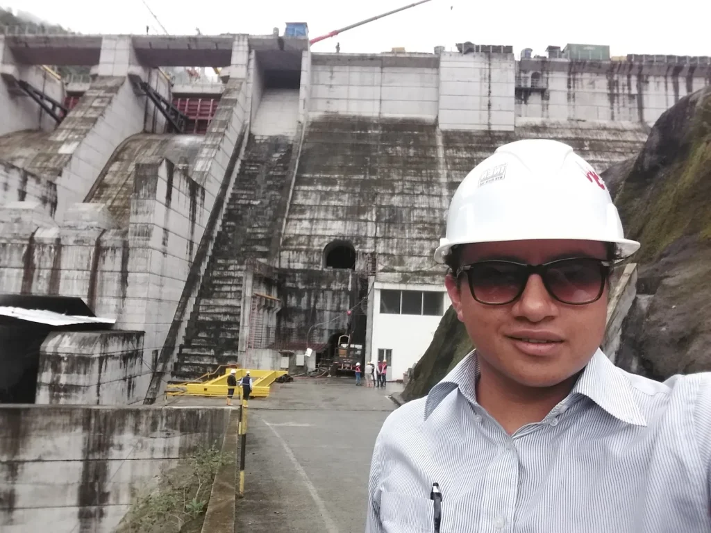
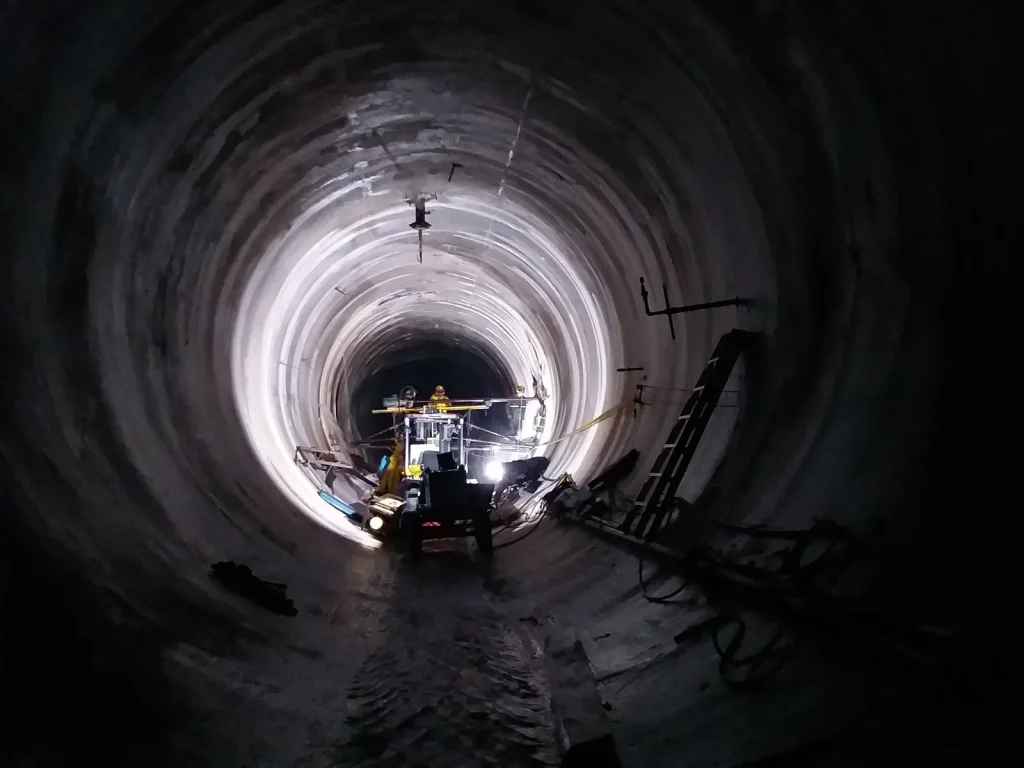
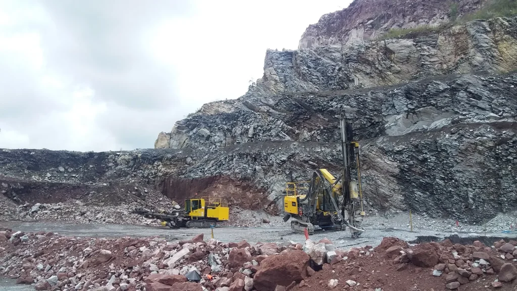
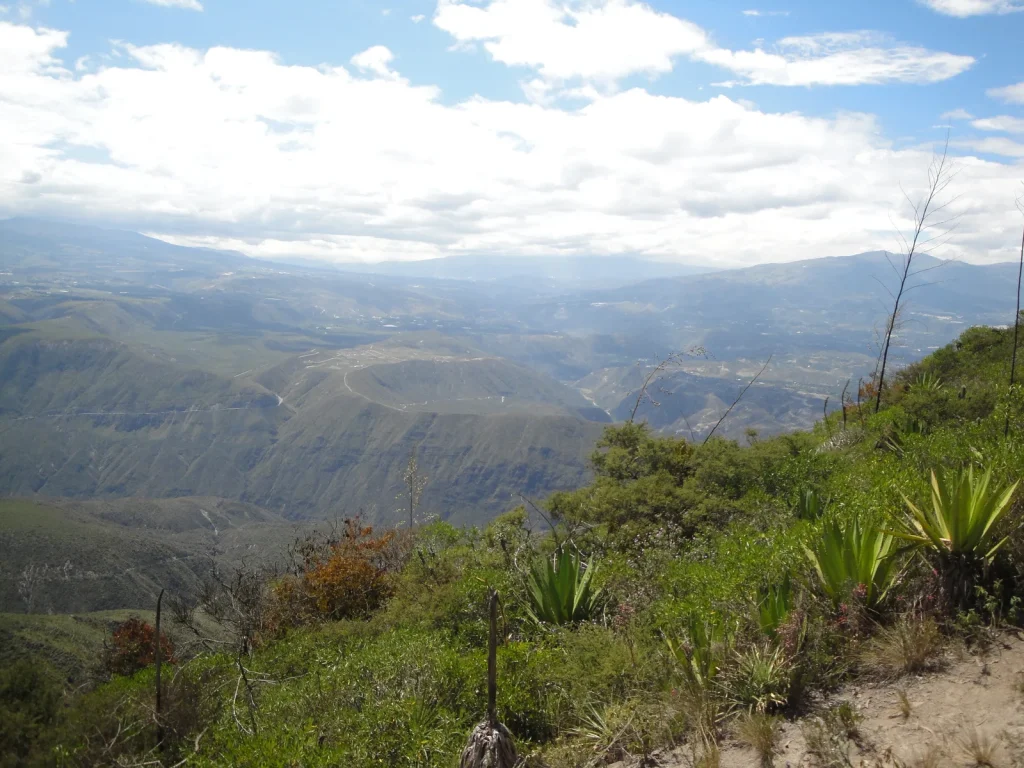
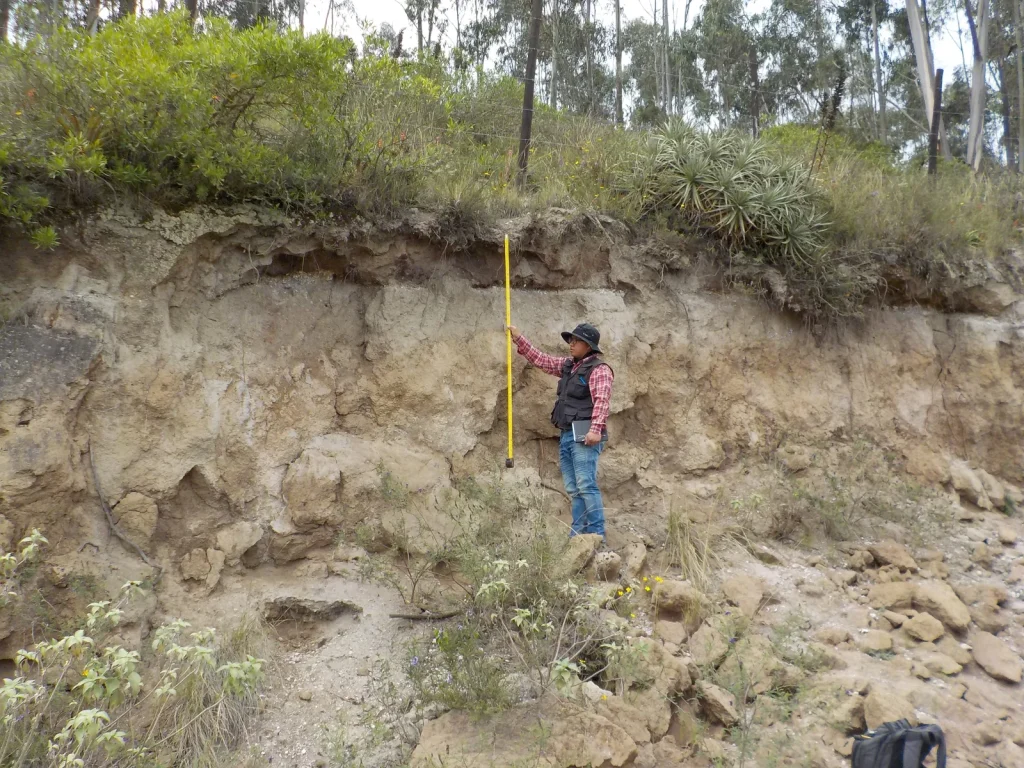
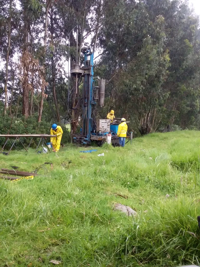
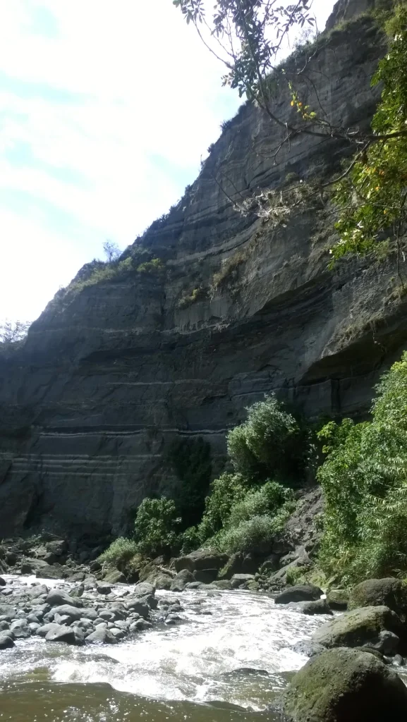
Large-scale mining, critical infrastructure, oil and gas, water resources, public management, geological heritage and natural resources.

29 projects 153 field photographs 2017–2026 documented track record

29 projects · Open a card to browse its photographic record

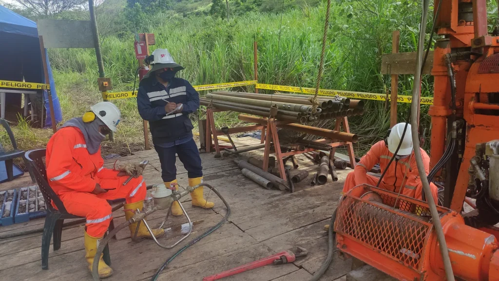
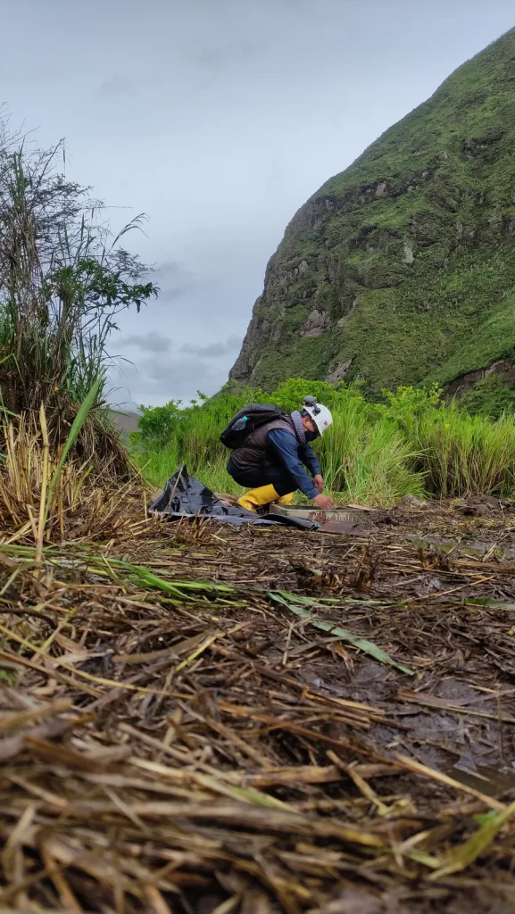
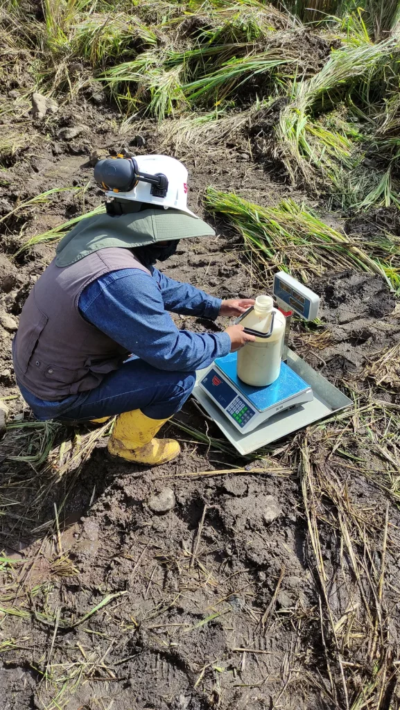
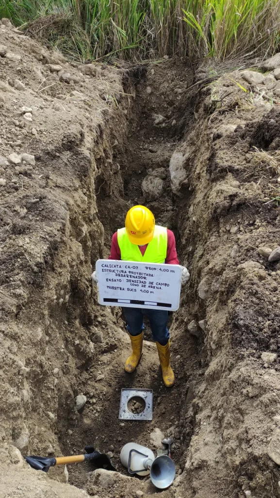
Field record — Subsurface investigations with field vane testing — Warintza mining project 14 photographs ↗

01

Mining and Geotechnics2026Warintza mining project – LOWELL S.A. - Morona Santiago

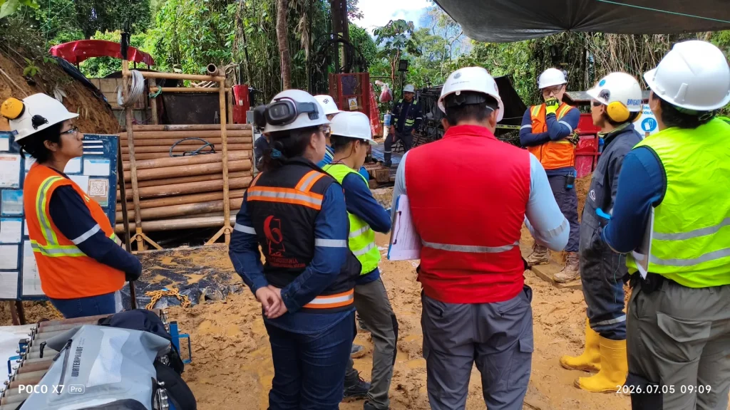
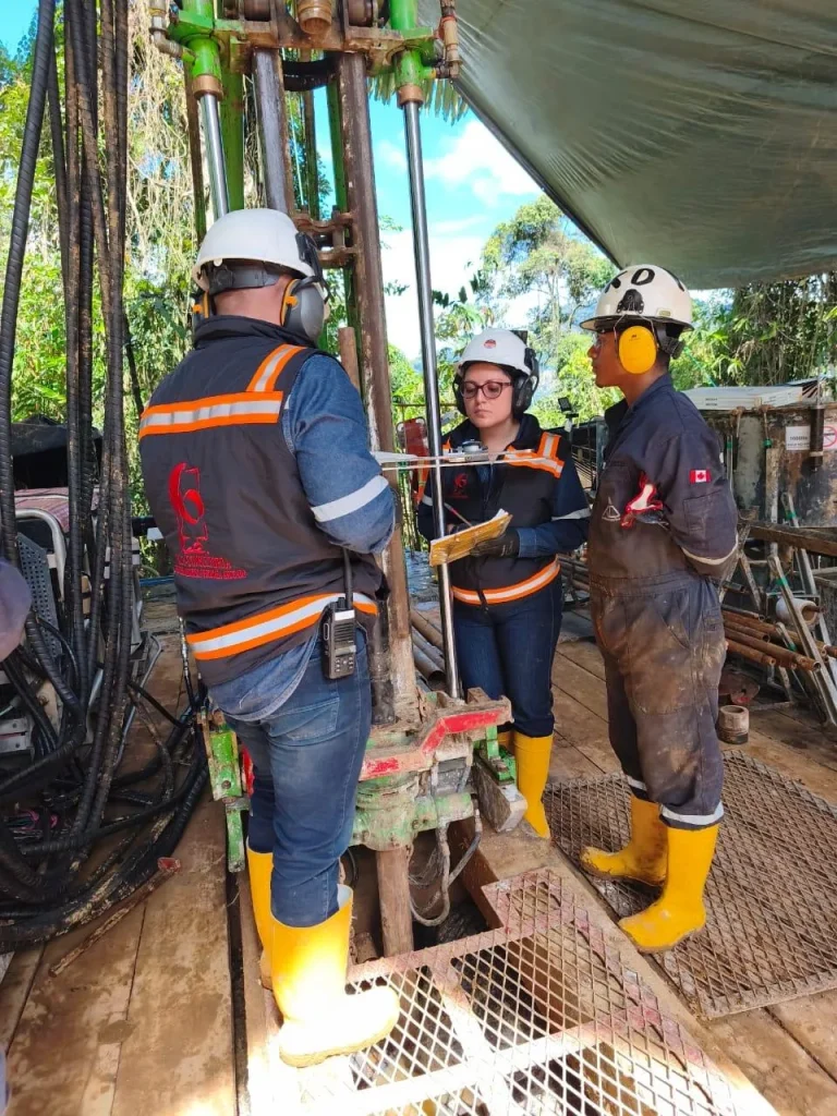
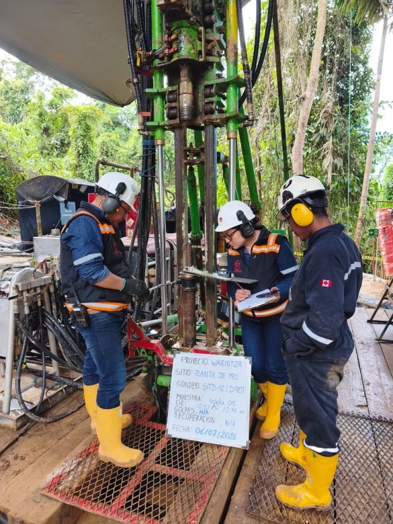
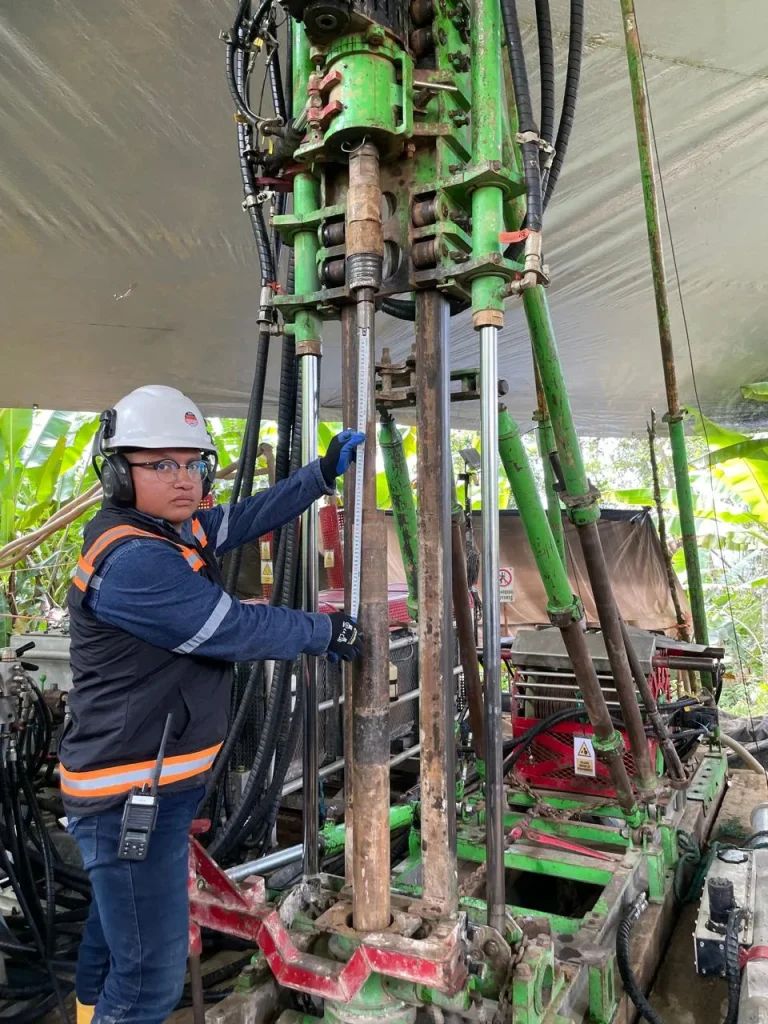
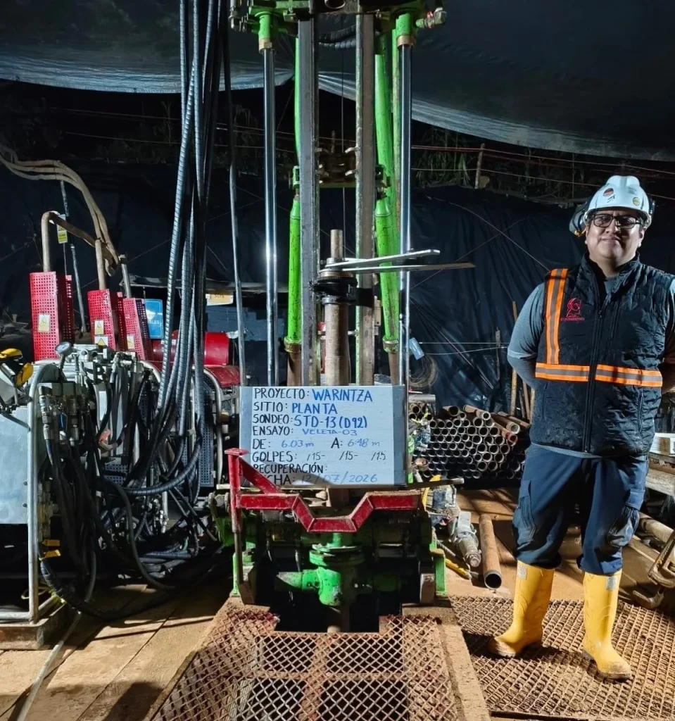
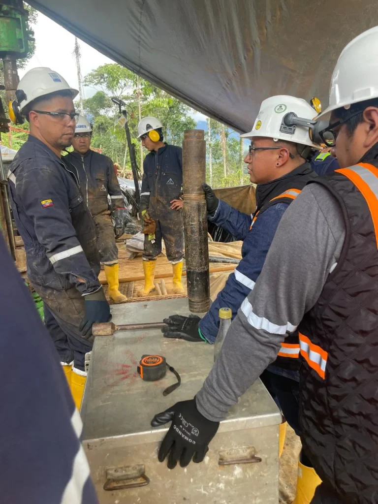
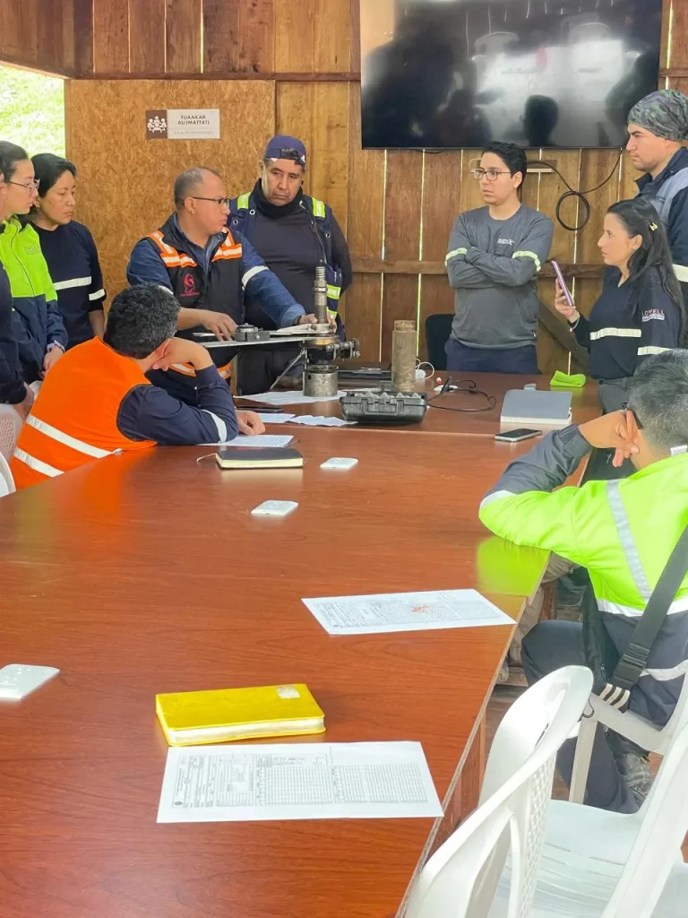
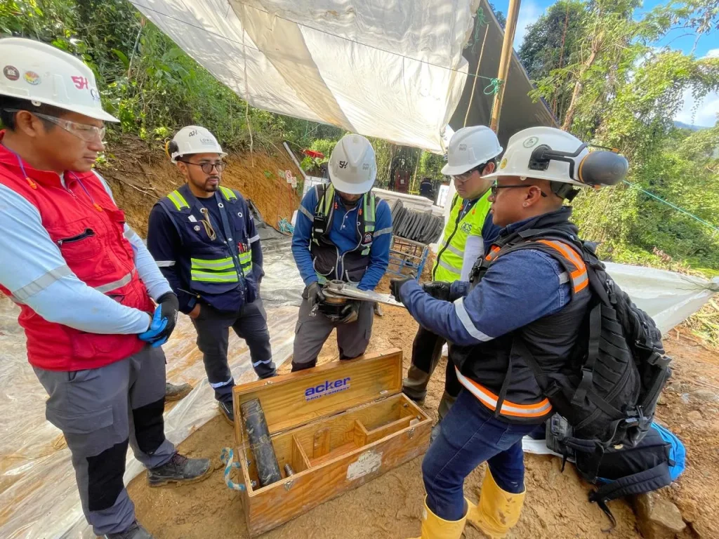
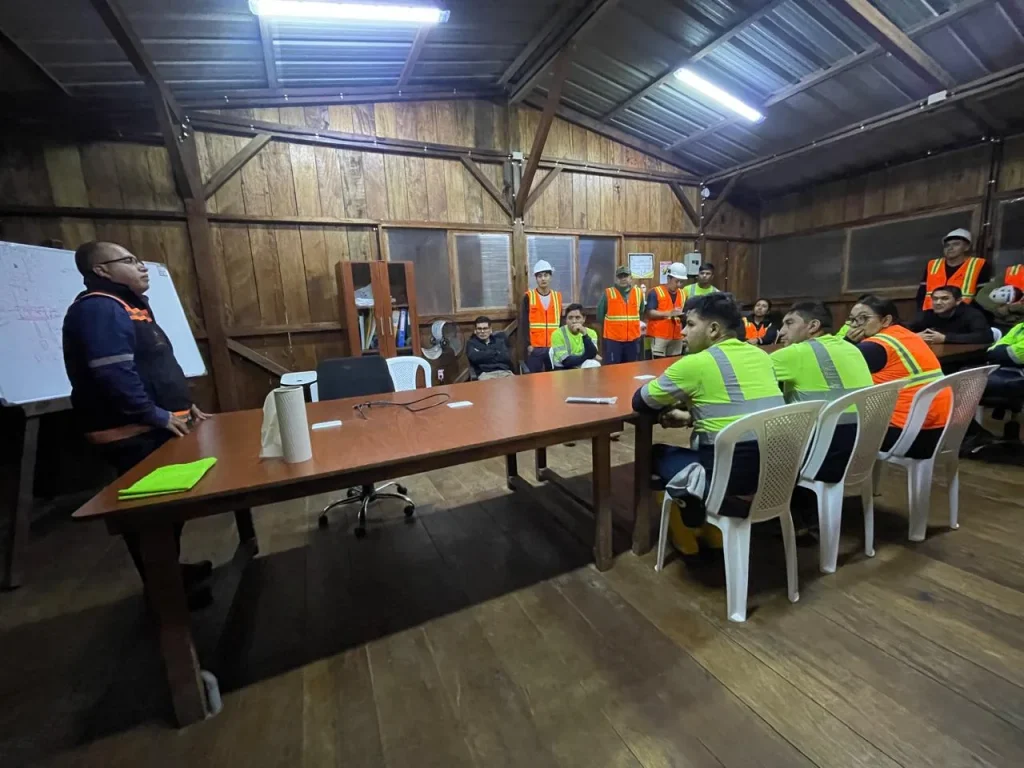
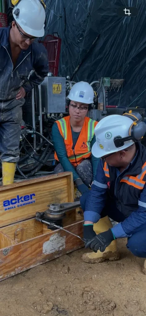
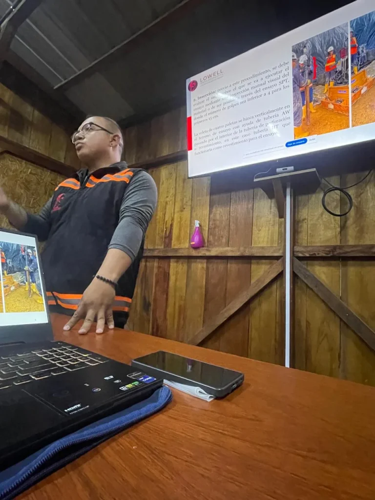
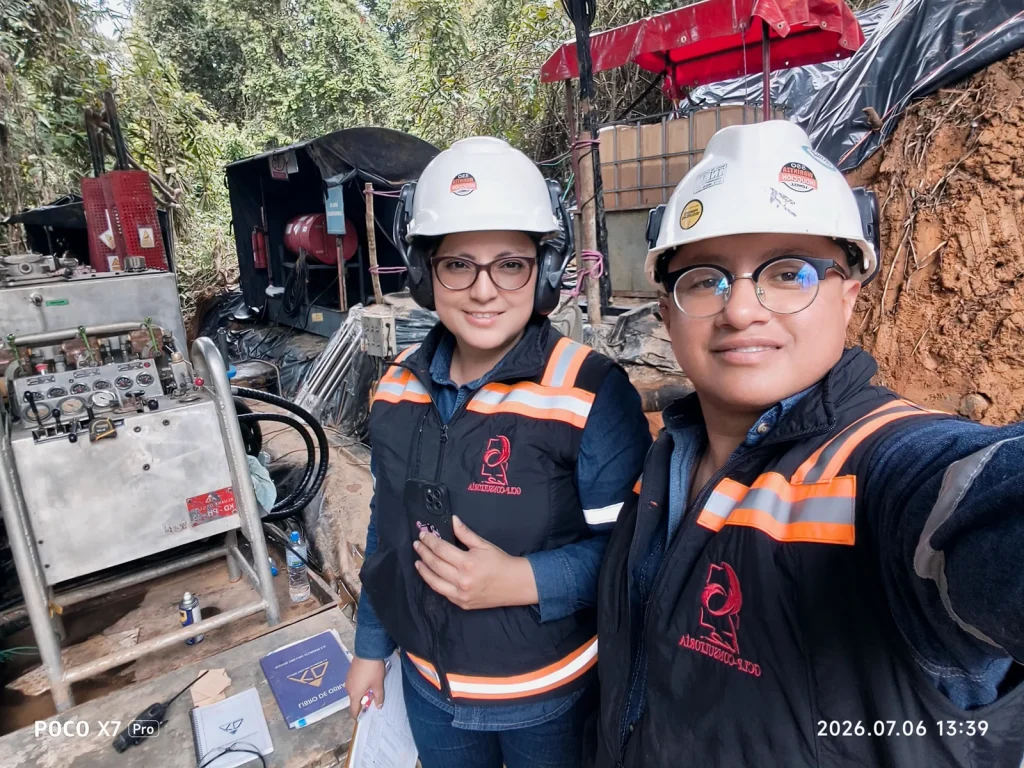
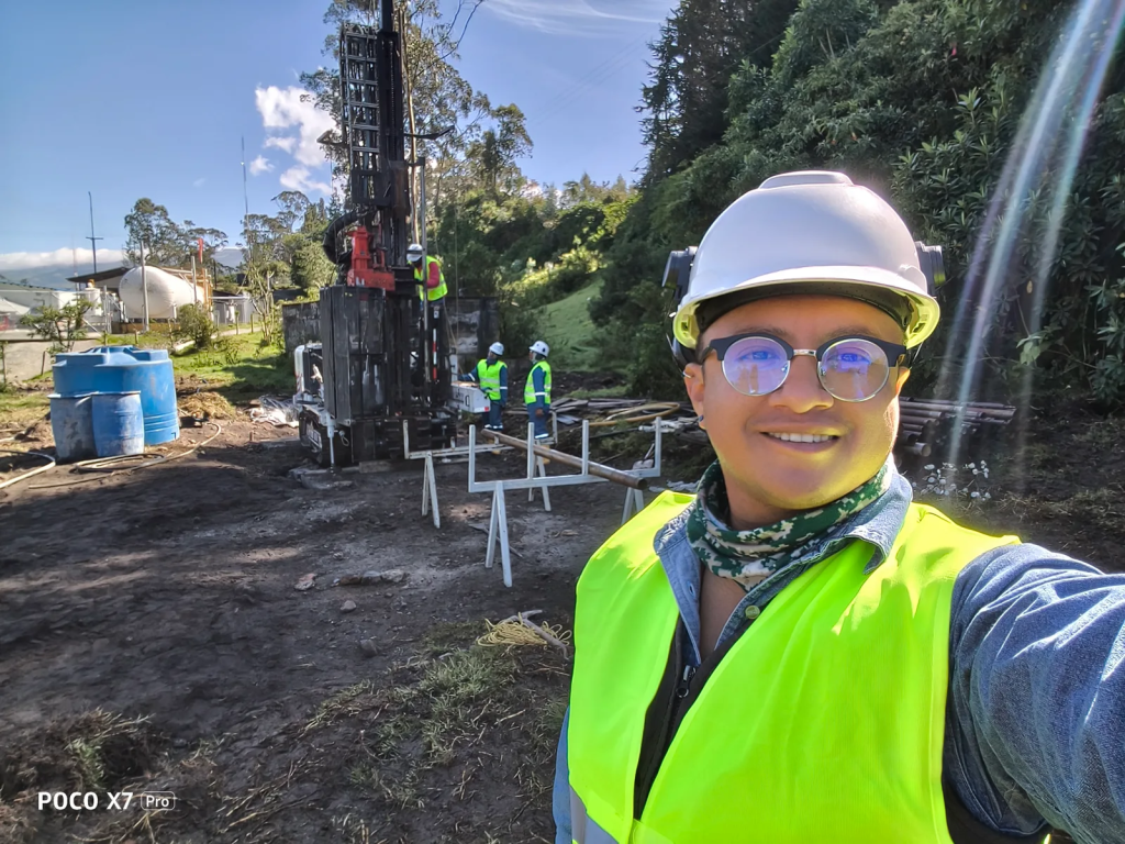
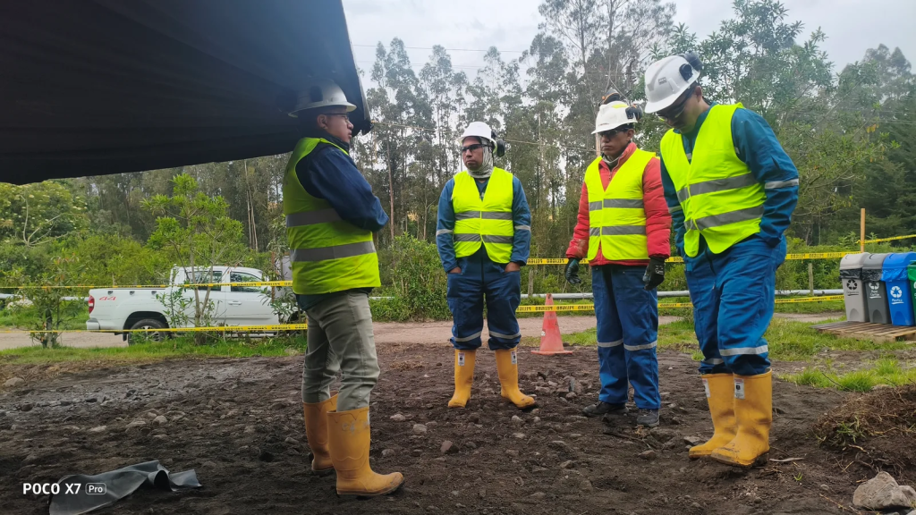
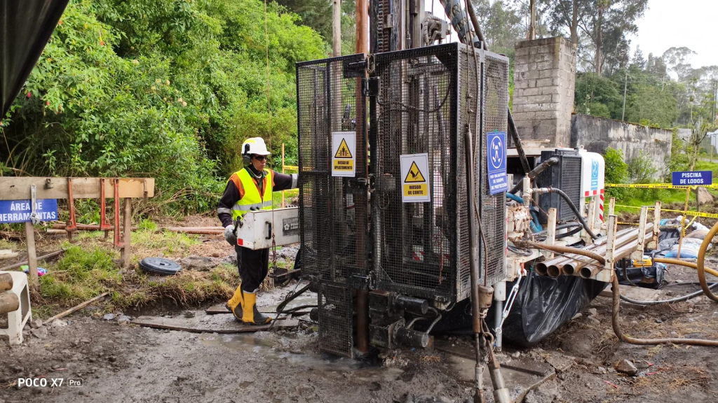
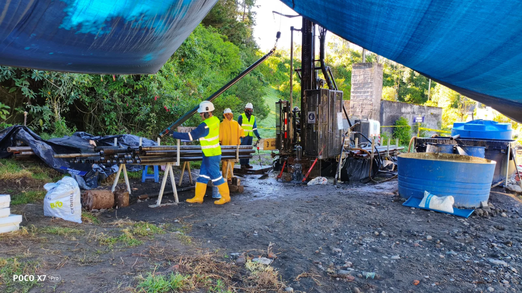
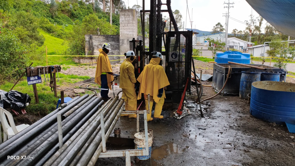
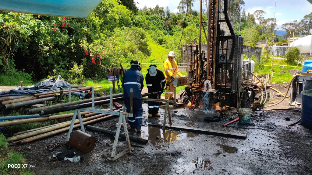
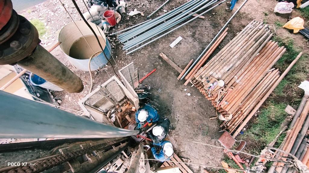
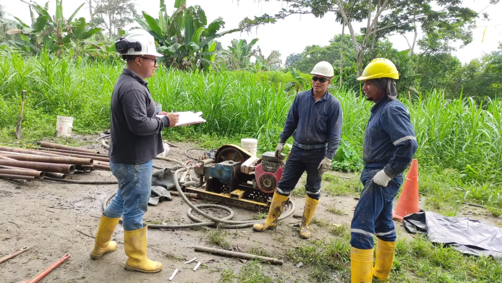
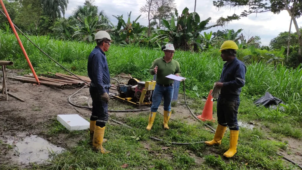
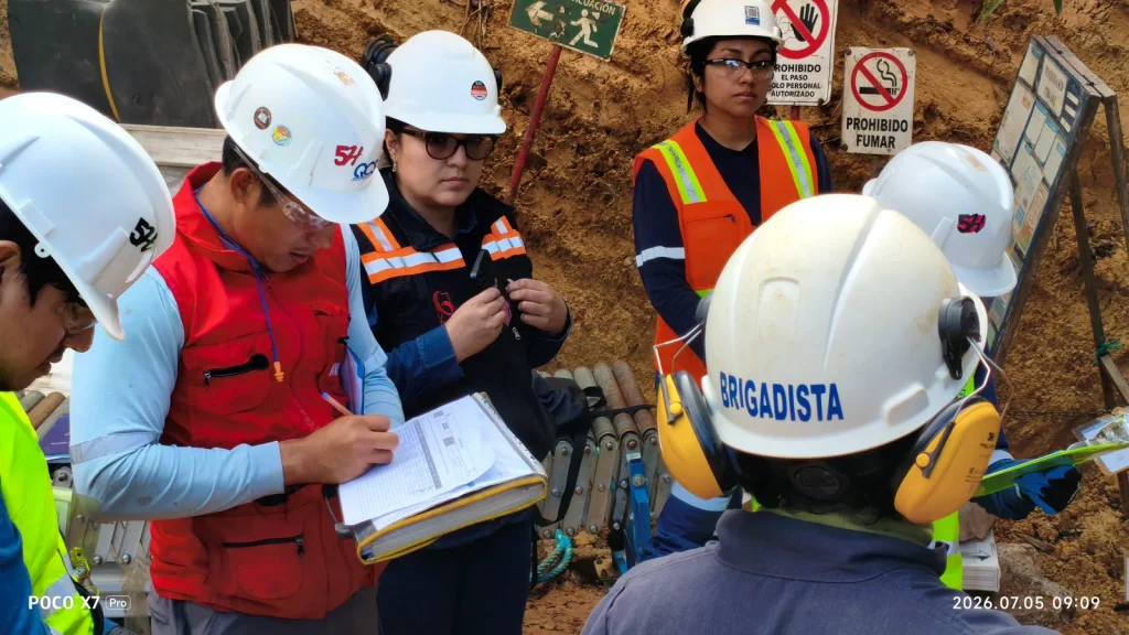
Subsurface investigations with field vane testing — Warintza mining project

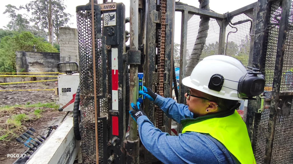
Field vane shear testing

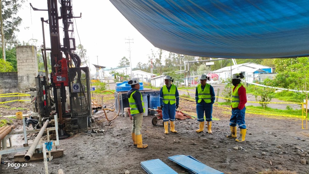
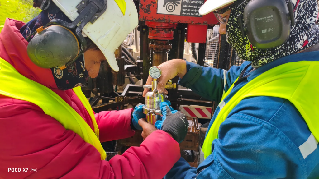
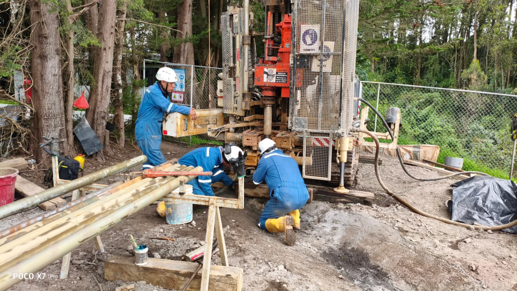
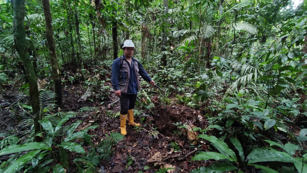
Execution of field vane shear tests in the exploratory boreholes of the geotechnical drilling campaign for the feasibility designs commissioned by LOWELL MINERAL EXPLORATION S.A. for the Warintza mining project.

Browse the 14 photographs
Warintza mining project – LOWELL S.A. - Morona Santiago · field photograph 1Warintza mining project – LOWELL S.A. - Morona Santiago · field photograph 2Warintza mining project – LOWELL S.A. - Morona Santiago · field photograph 3Warintza mining project – LOWELL S.A. - Morona Santiago · field photograph 4Warintza mining project – LOWELL S.A. - Morona Santiago · field photograph 5Warintza mining project – LOWELL S.A. - Morona Santiago · field photograph 6Warintza mining project – LOWELL S.A. - Morona Santiago · field photograph 7Warintza mining project – LOWELL S.A. - Morona Santiago · field photograph 8Warintza mining project – LOWELL S.A. - Morona Santiago · field photograph 9Warintza mining project – LOWELL S.A. - Morona Santiago · field photograph 10Warintza mining project – LOWELL S.A. - Morona Santiago · field photograph 11Warintza mining project – LOWELL S.A. - Morona Santiago · field photograph 12Warintza mining project – LOWELL S.A. - Morona Santiago · field photograph 13Warintza mining project – LOWELL S.A. - Morona Santiago · field photograph 14
Field record — Hydrogeological study for CO₂ prospecting through drilling and exploratory wells 18 photographs ↗

02

Water and aquifers2026Machachi

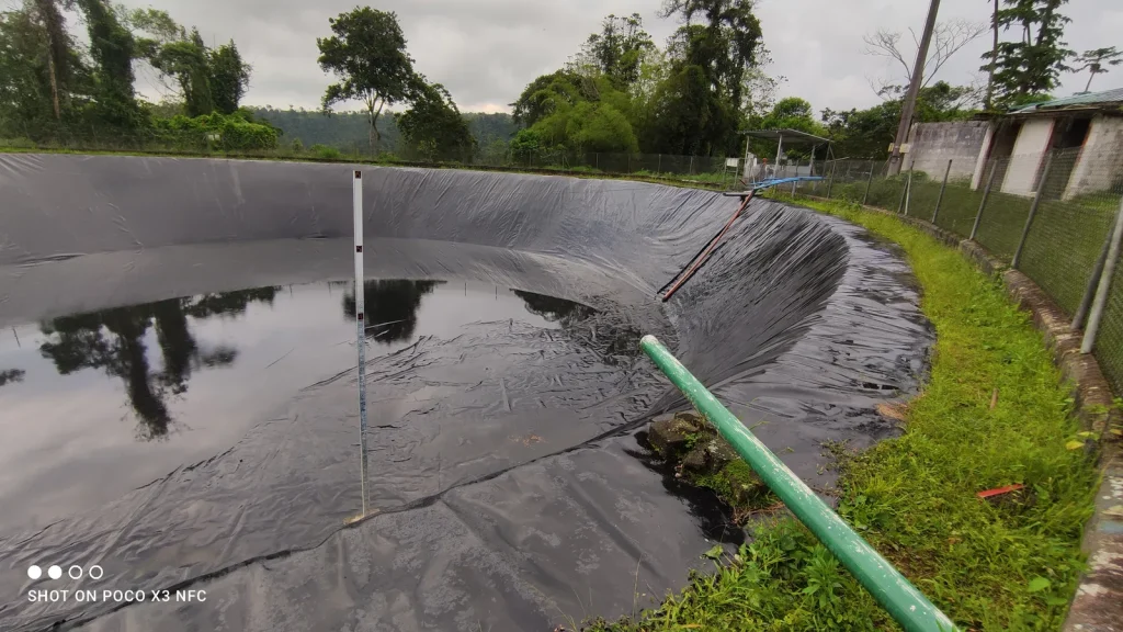
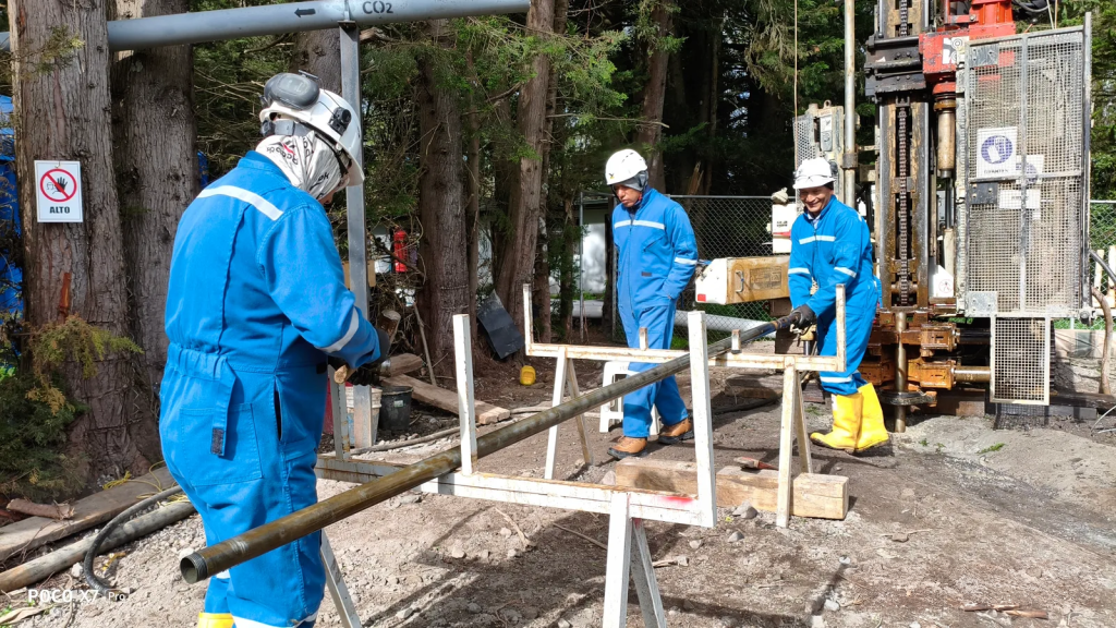
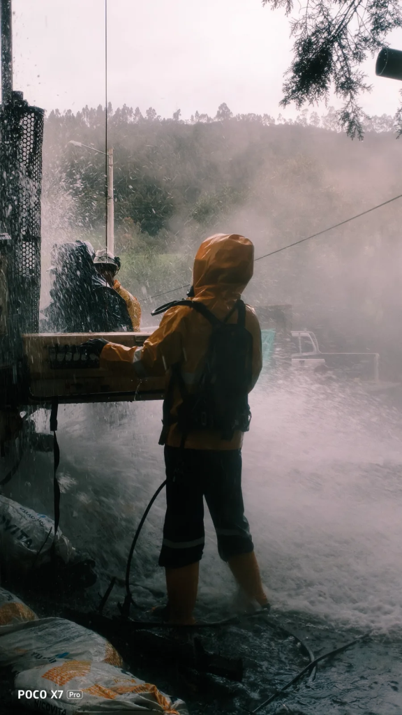
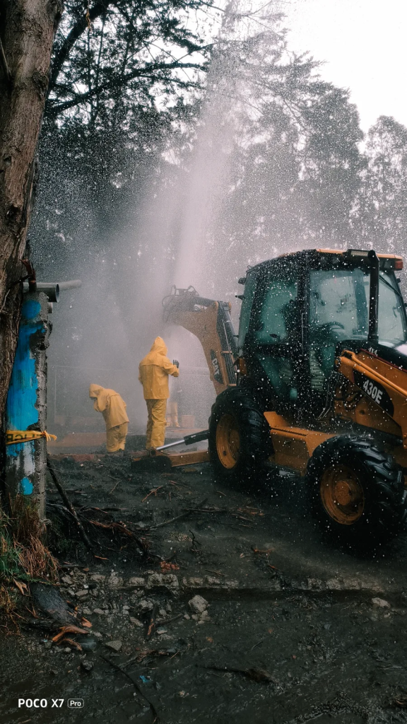
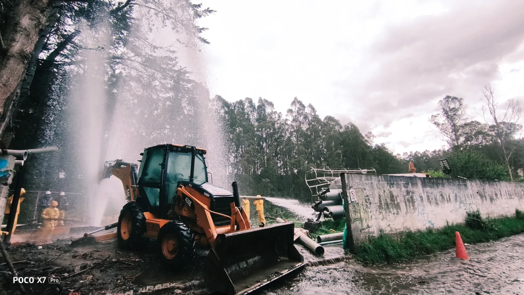
Hydrogeological study for CO₂ prospecting through drilling and exploratory wells

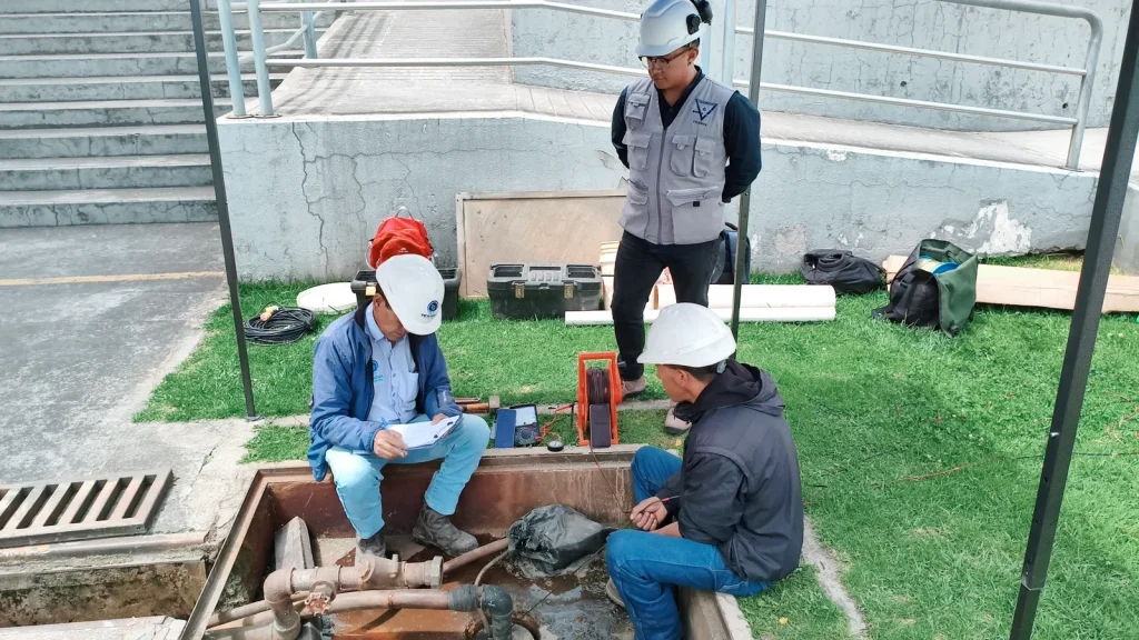
Specialised hydrogeological analysis and on-site operational control.

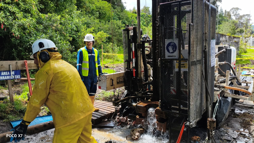
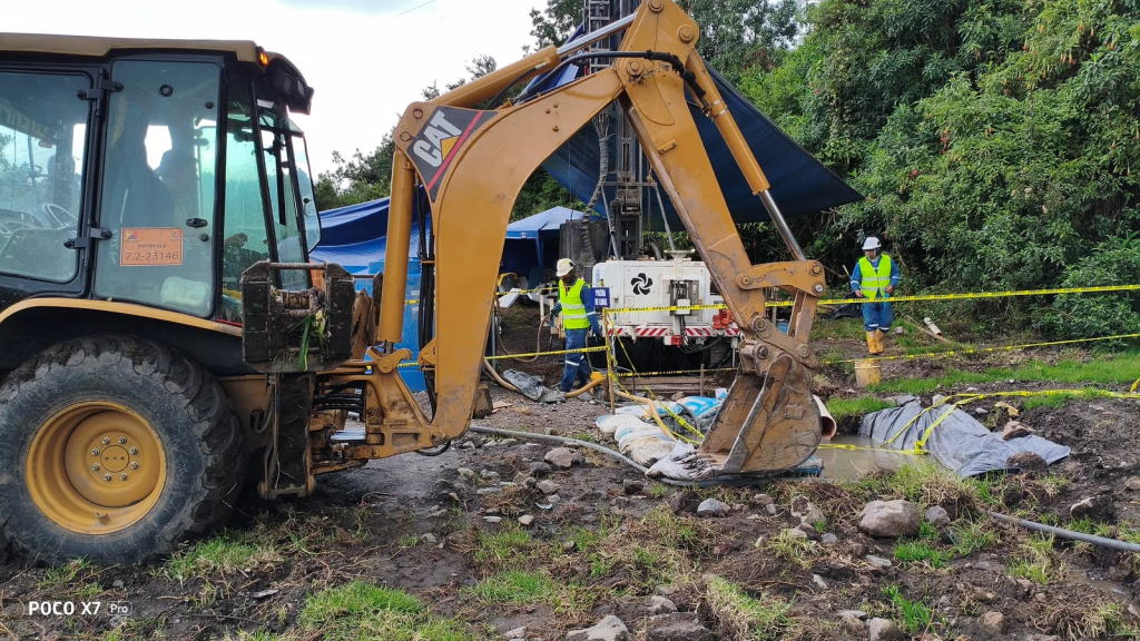
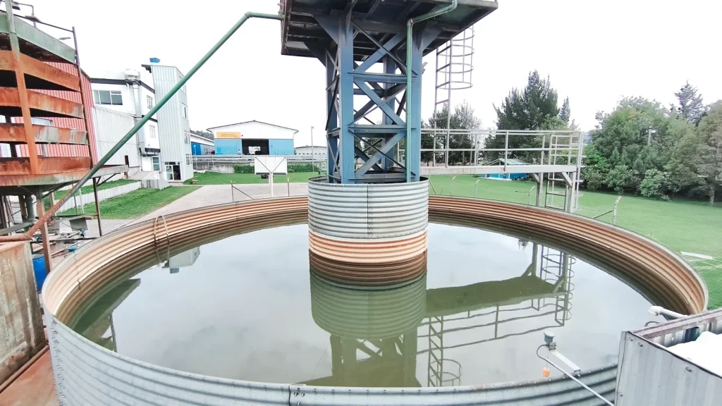
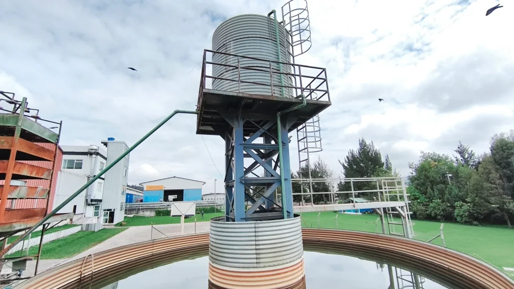
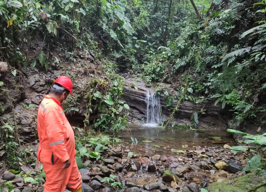
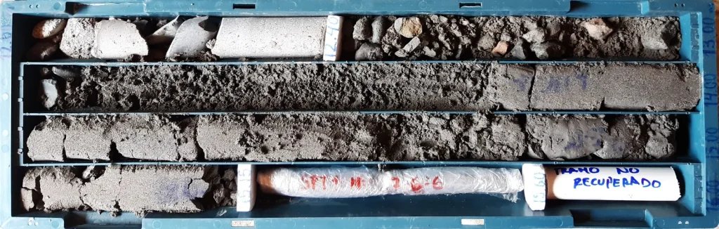
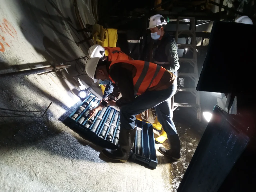
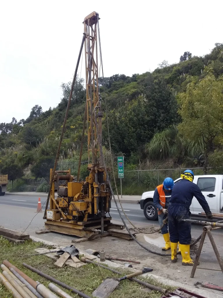
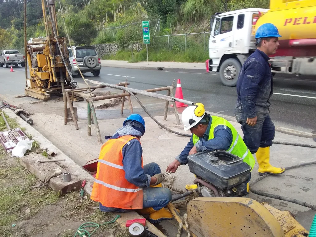
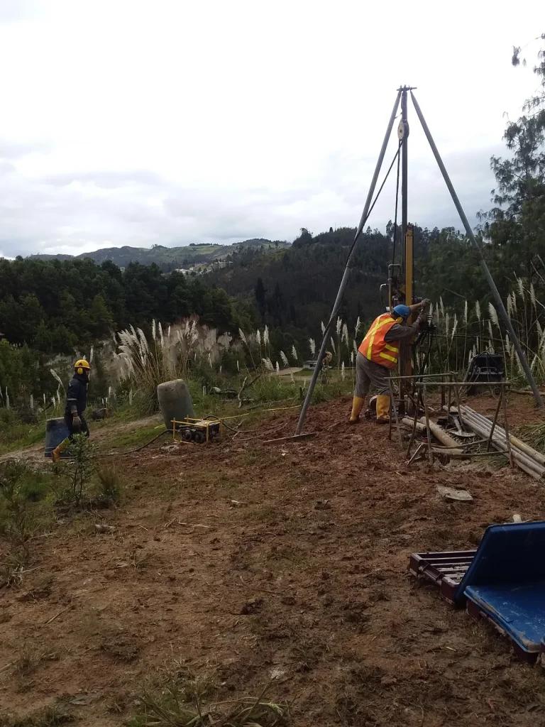
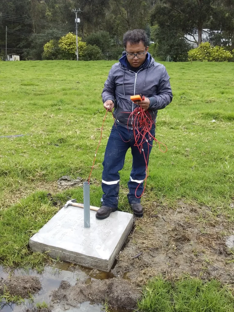
Field data collection, hydrogeological analysis for CO2 prospecting and technical recommendations for the management and use of groundwater in the food industry (LINDE); supervision of exploratory drilling and core logging to characterise aquifers, and identification of areas with hydrogeological potential and CO2 content.

Browse the 18 photographs
Machachi · field photograph 1Machachi · field photograph 2Machachi · field photograph 3Machachi · field photograph 4Machachi · field photograph 5Machachi · field photograph 6Machachi · field photograph 7Machachi · field photograph 8Machachi · field photograph 9Machachi · field photograph 10Machachi · field photograph 11Machachi · field photograph 12Machachi · field photograph 13Machachi · field photograph 14Machachi · field photograph 15Machachi · field photograph 16Machachi · field photograph 17Machachi · field photograph 18
Field record — Geological heritage, geodiversity and research — Tungurahua Volcano UNESCO Global Geopark 6 photographs ↗

03

Geological heritage2022 - 2026Chimborazo - Tungurahua

Geological heritage, geodiversity and research — Tungurahua Volcano UNESCO Global Geopark

Integrated management of geosciences, geological heritage and geodiversity.

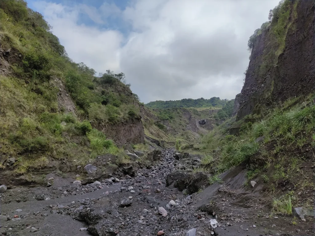
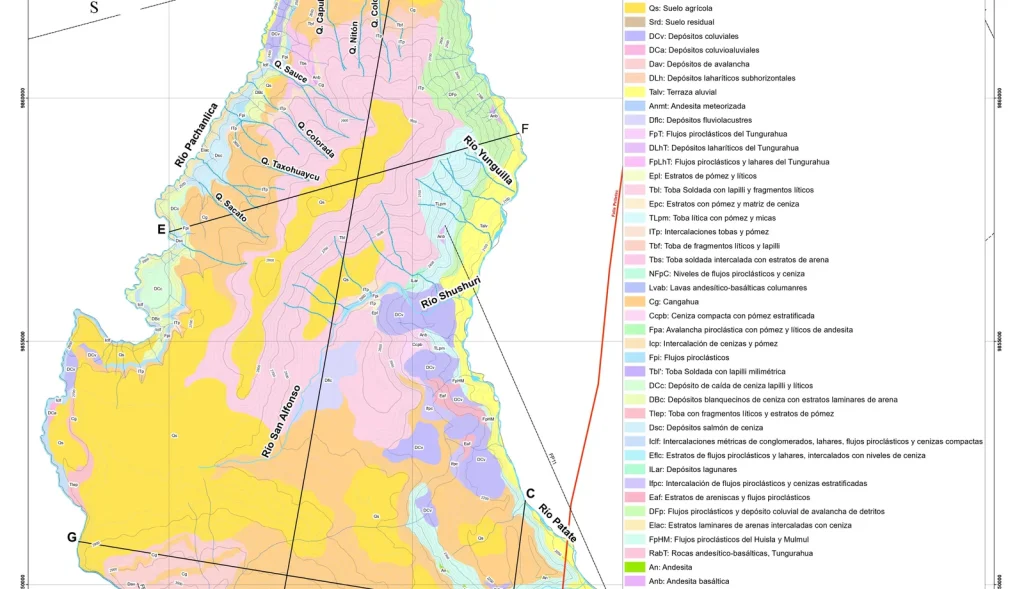
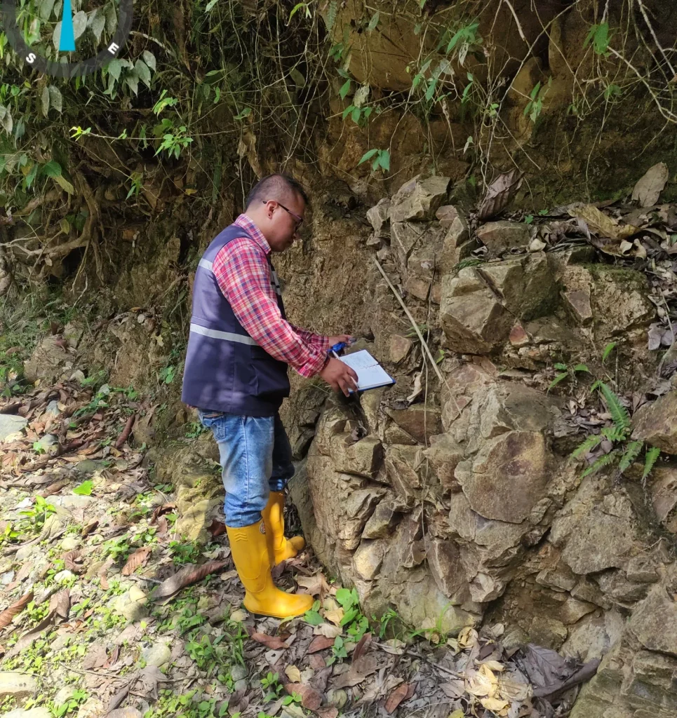
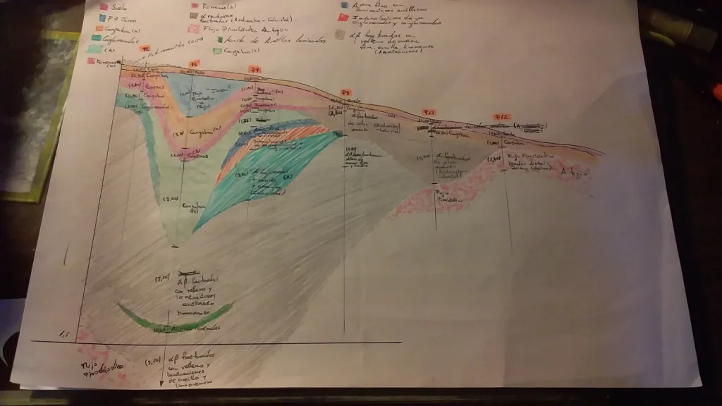
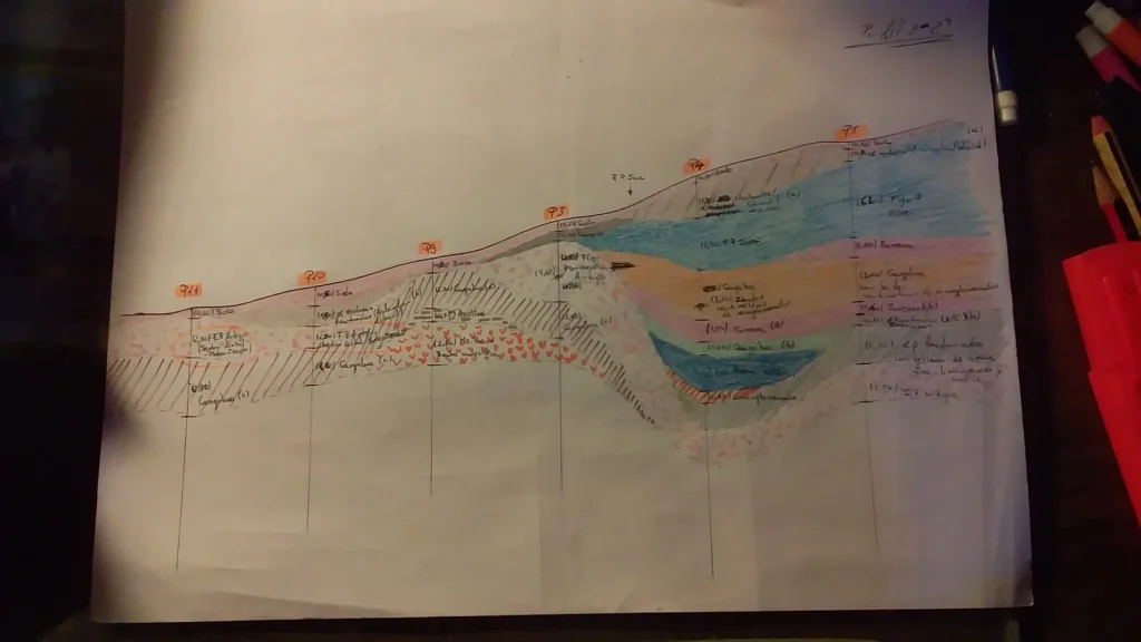
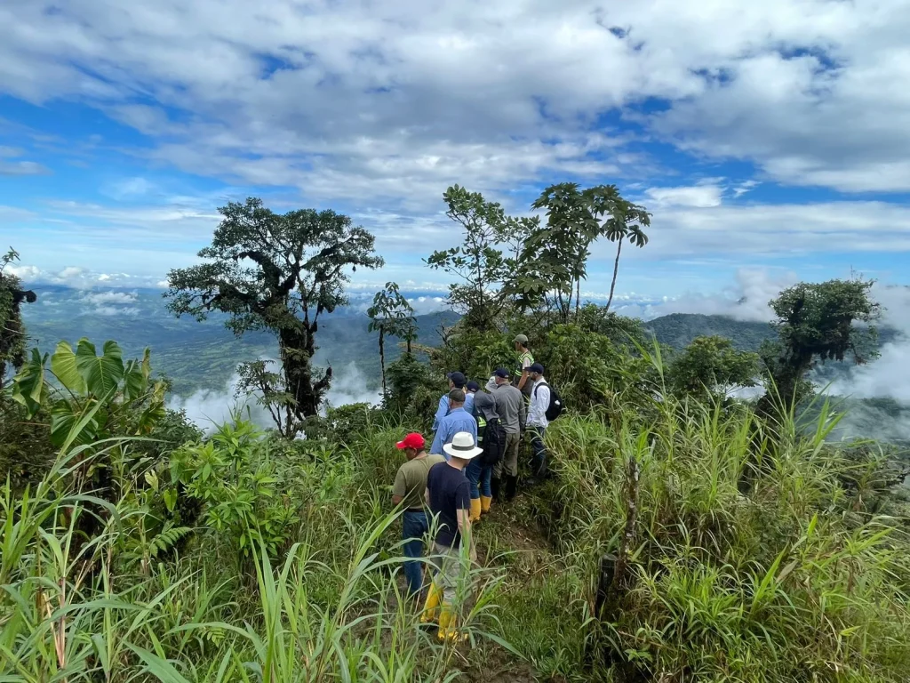
Geopark-wide field surveys in the cantons of Pelileo, Patate, Baños, Penipe and Guano. Characterisation of geosites and geodiversity, compilation of digital geographic information, hazard and risk analysis, scientific publications and participation in land and geological heritage management activities.

Browse the 6 photographs
Chimborazo - Tungurahua · field photograph 1Chimborazo - Tungurahua · field photograph 2Chimborazo - Tungurahua · field photograph 3Chimborazo - Tungurahua · field photograph 4Chimborazo - Tungurahua · field photograph 5Chimborazo - Tungurahua · field photograph 6
Field record — Groundwater development — NOVACERO 6 photographs ↗

04

Water and aquifers2025Quito

Groundwater development — NOVACERO

Hydrogeological analysis and in situ testing

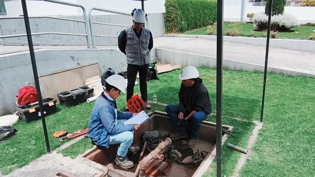
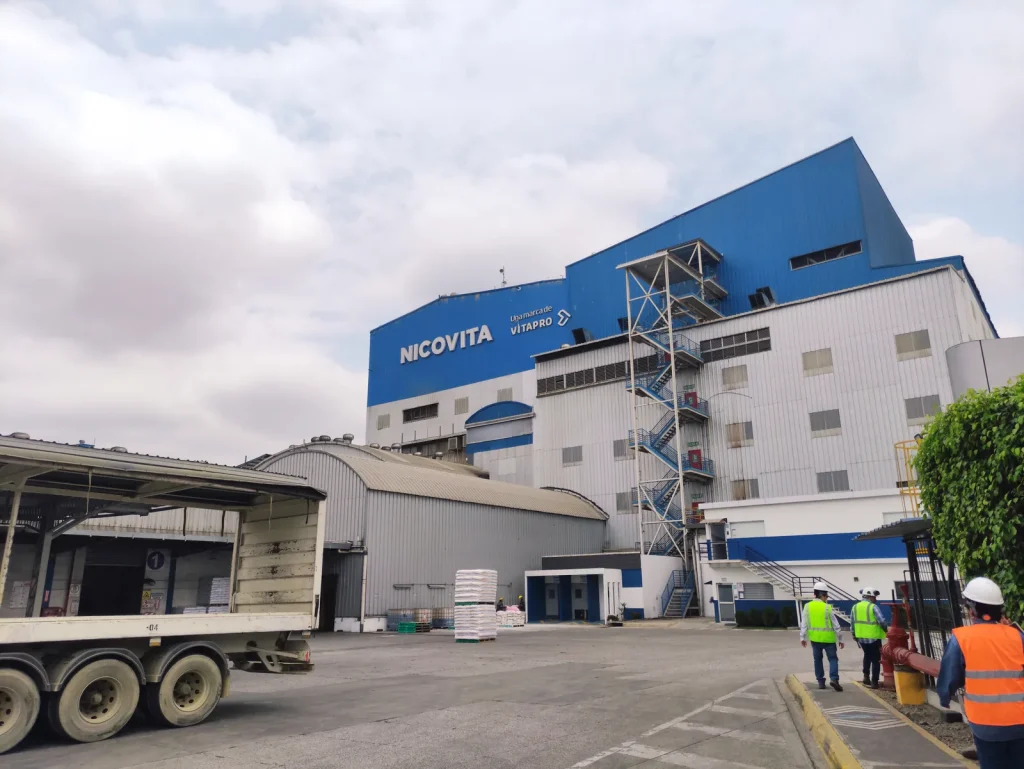
Hydrogeological analysis, comparison of aquifer overexploitation indicators and technical recommendations for the management and use of groundwater in the construction supplies industry (NOVACERO); preparation of the final report for groundwater resource development.

Browse the 6 photographs
Quito · field photograph 1Quito · field photograph 2Quito · field photograph 3Quito · field photograph 4Quito · field photograph 5Quito · field photograph 6
Field record — Groundwater development — INBALNOR animal feed plant 5 photographs ↗

05

Water and aquifers2025Milagro – INBALNOR

Groundwater development — INBALNOR animal feed plant

Hydrogeological analysis and in situ testing

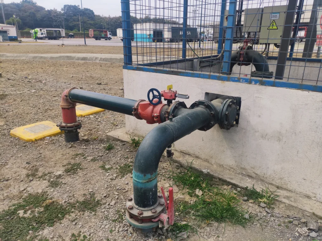
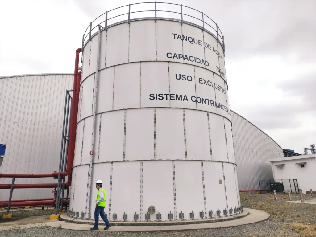
Hydrogeological analysis, comparison of aquifer overexploitation indicators and technical recommendations for the management and use of groundwater in the INBALNOR food industry; preparation of the final report for groundwater resource development.

Browse the 5 photographs
Milagro – INBALNOR · field photograph 1Milagro – INBALNOR · field photograph 2Milagro – INBALNOR · field photograph 3Milagro – INBALNOR · field photograph 4Milagro – INBALNOR · field photograph 5
Field record — Risk analysis of ravines and flood-prone areas for the Ambato Early Warning and Monitoring System 8 photographs ↗

06

Risk management2024 - 2025Ambato

Risk analysis of ravines and flood-prone areas for the Ambato Early Warning and Monitoring System

Geological characterisation and hazard assessment applied to risk management.

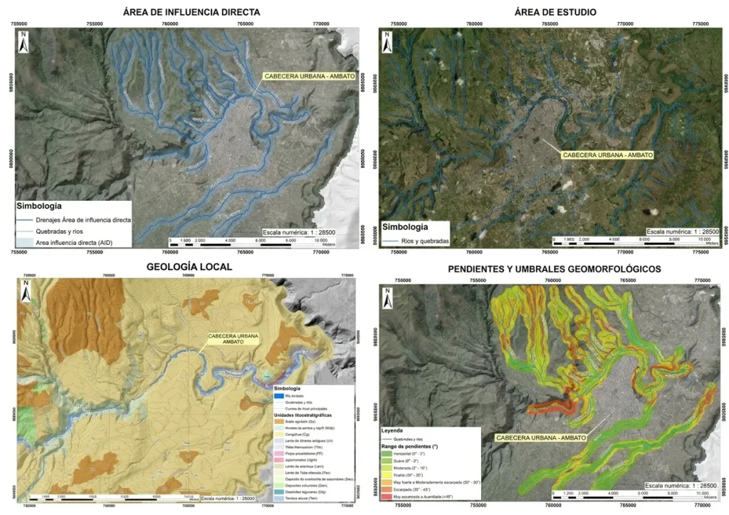
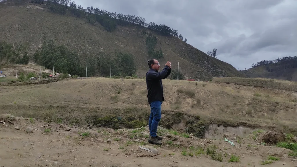
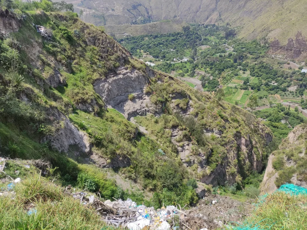
Detailed 1:5,000 geological mapping of the ravines surrounding Ambato, hydrogeological analysis, geomorphological threshold study, structural analysis, landslide and flood risk analysis, and final reports.

Browse the 8 photographs
Ambato · field photograph 1Ambato · field photograph 2Ambato · field photograph 3Ambato · field photograph 4Ambato · field photograph 5Ambato · field photograph 6Ambato · field photograph 7Ambato · field photograph 8
Field record — Pre-feasibility, feasibility and final design of the Lelia River intake — Toachi Complex 7 photographs ↗

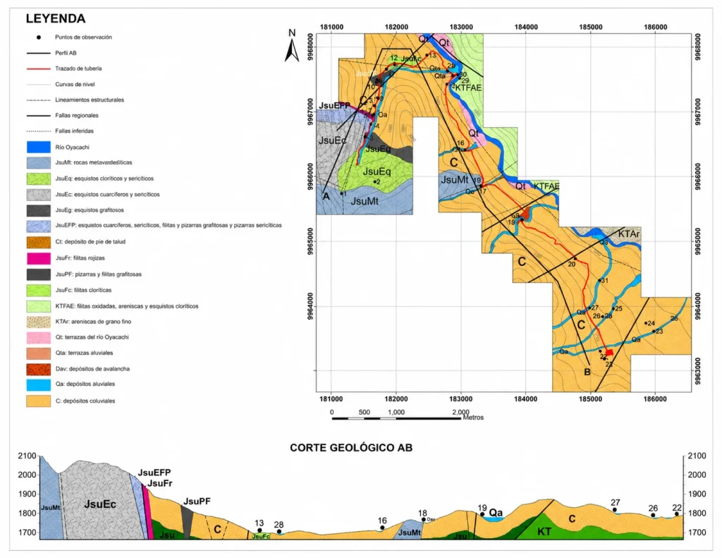
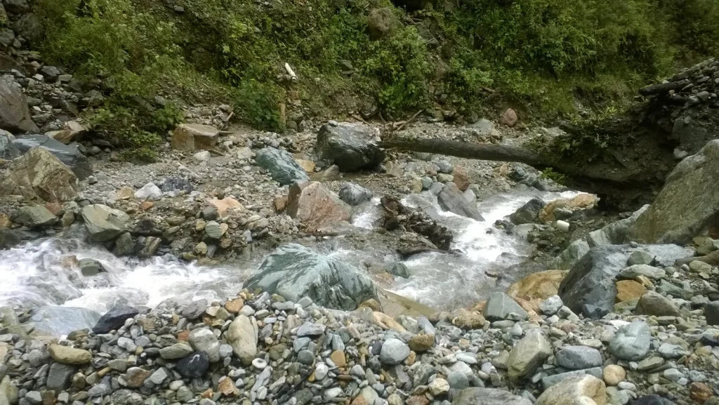
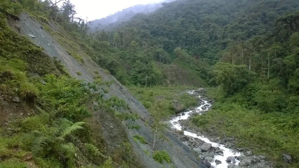
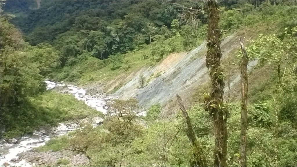
07

Water Resource Development2024Santo Domingo - Alluriquín – Pronaca food company

Pre-feasibility, feasibility and final design of the Lelia River intake — Toachi Complex

Advanced geological and geotechnical studies.

Detailed 1:1,000 geological-geotechnical mapping of the intake area, interpretation of geophysical surveys, hydrogeological analysis, geomorphological threshold study, structural analysis, review of geotechnical investigations, risk study, geological maps and sections, and final reports.

Browse the 7 photographs
Santo Domingo - Alluriquín – Pronaca food company · field photograph 1Santo Domingo - Alluriquín – Pronaca food company · field photograph 2Santo Domingo - Alluriquín – Pronaca food company · field photograph 3Santo Domingo - Alluriquín – Pronaca food company · field photograph 4Santo Domingo - Alluriquín – Pronaca food company · field photograph 5Santo Domingo - Alluriquín – Pronaca food company · field photograph 6Santo Domingo - Alluriquín – Pronaca food company · field photograph 7
Field record — Engineering for the design of the Siccha access road, flow line and platform 4 photographs ↗
08

Oil and gas2023Puyo

Engineering for the design of the Siccha access road, flow line and platform

Applied geological and geotechnical characterisation.

Detailed 1:1,000 geological-geotechnical mapping of the access road, flow line and Siccha platform alignment, interpretation of geophysical surveys, hydrogeological analysis, geomorphological threshold study, structural analysis, review of geotechnical investigations, risk study, geological maps and sections, and final reports.

Browse the 4 photographs
Puyo · field photograph 1Puyo · field photograph 2Puyo · field photograph 3Puyo · field photograph 4
Field record — Geological study of San Pedro de Pelileo canton for land-use planning and assessment of construction material deposits 7 photographs ↗
09

Natural Resource Development2022 - 2023Pelileo

Geological study of San Pedro de Pelileo canton for land-use planning and assessment of construction material deposits

Project direction and management.

Canton-wide 1:25,000 geological mapping, geological maps and sections, 1:1,000 mapping of aggregate deposits, canton-level risk analysis, supervision of topographic surveys and soil laboratory testing, and final geology and aggregates reports.

Browse the 7 photographs
Pelileo · field photograph 1Pelileo · field photograph 2Pelileo · field photograph 3Pelileo · field photograph 4Pelileo · field photograph 5Pelileo · field photograph 6Pelileo · field photograph 7
Field record — Feasibility and final designs — San Jacinto hydropower project 2 photographs ↗
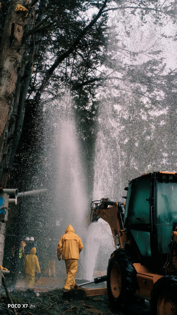
10

Hydropower2022Santo Domingo

Feasibility and final designs — San Jacinto hydropower project

Geological and geotechnical characterisation applied to hydropower design

Detailed 1:1,000 geological-geotechnical mapping of the work fronts, review and interpretation of geophysical surveys, logging and interpretation of boreholes, aggregate prospecting, geological maps and sections of each work front, and final reports.

Browse the 2 photographs
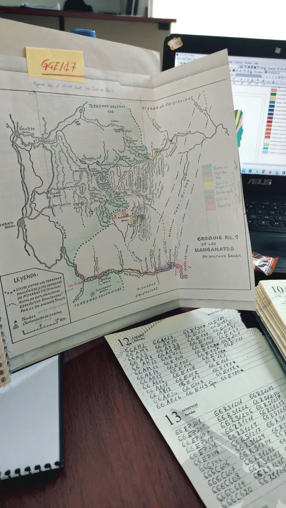
Santo Domingo · field photograph 1Santo Domingo · field photograph 2
Field record — Geotechnical investigations for feasibility and final designs — San Jacinto hydropower project 1 photograph ↗

11

Hydropower2022Santo Domingo

Geotechnical investigations for feasibility and final designs — San Jacinto hydropower project

Technical supervision and control of geotechnical drilling.

Supervision of geotechnical drilling, core logging and field testing.

Field record — Geological-geotechnical survey inside and outside the OCP pipeline right of way 2 photographs ↗
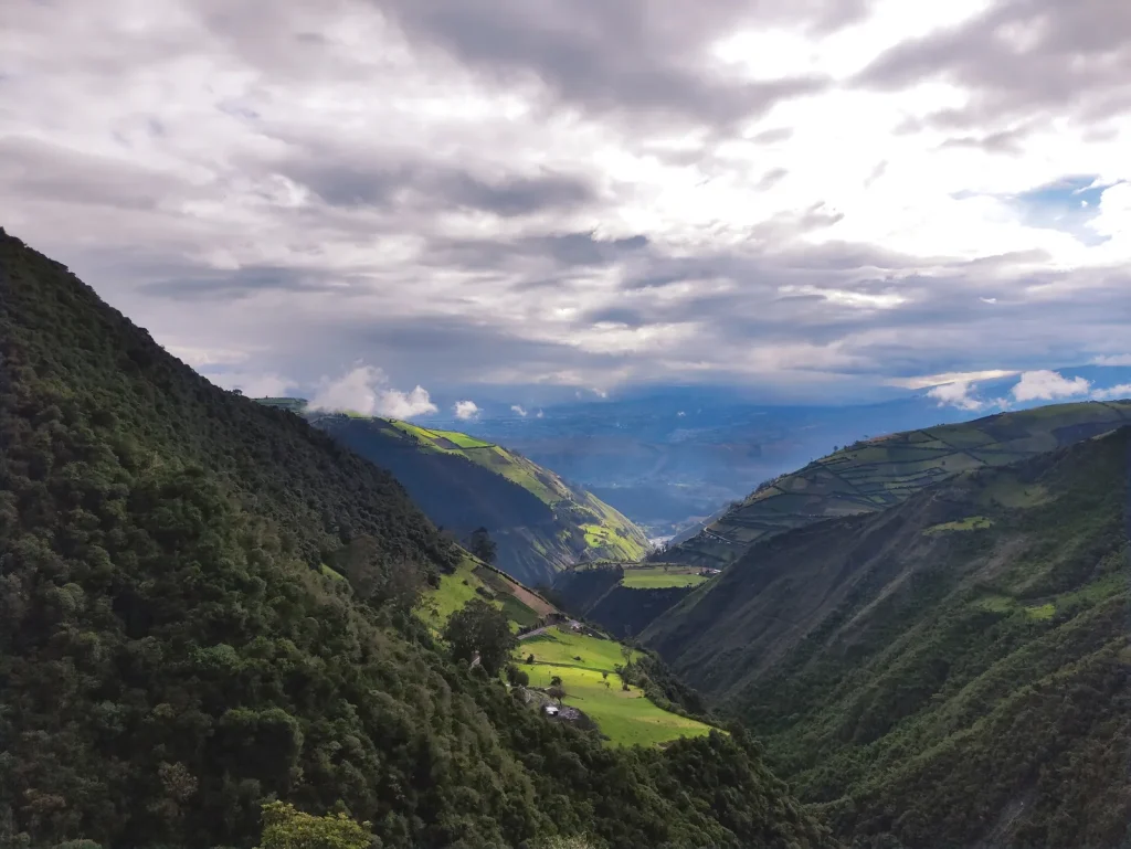
12

Oil and gas2022El Chaco – San Luis

Geological-geotechnical survey inside and outside the OCP pipeline right of way

Geological-geotechnical characterisation and drilling control.

Geological-geotechnical data collection for slope stability, risk and safety factor analysis, slope design for the new OCP alignment, supervision of geotechnical drilling, core logging and field testing.

Browse the 2 photographs
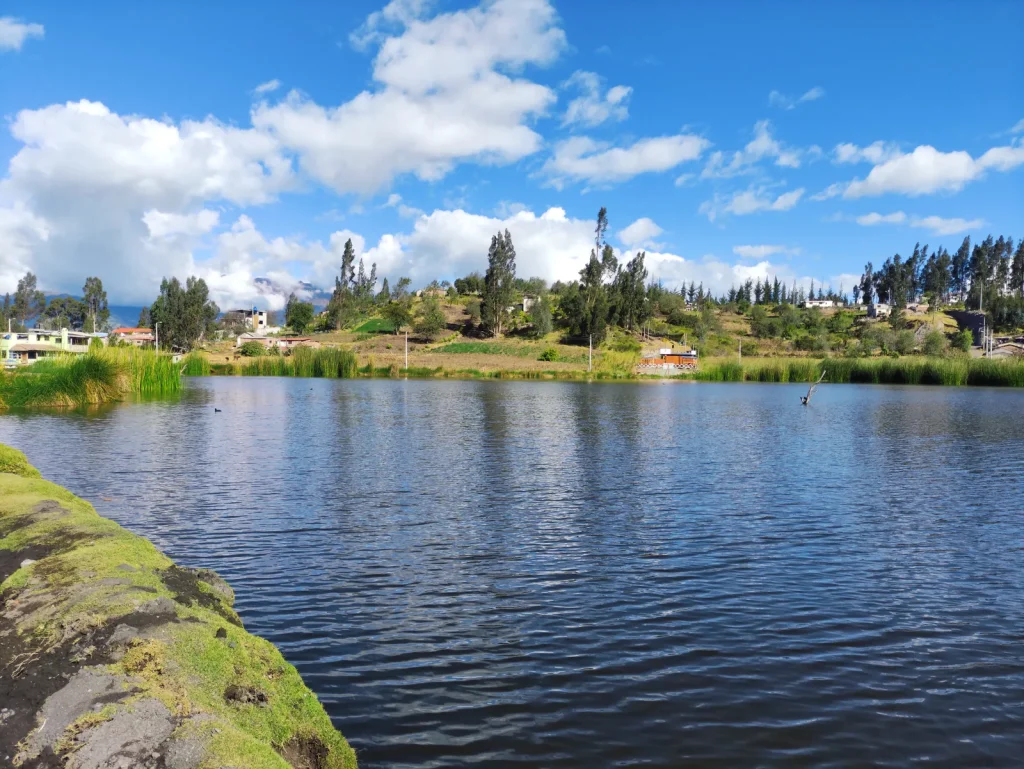
El Chaco – San Luis · field photograph 1El Chaco – San Luis · field photograph 2
Field record — Geotechnical exploration — Curipamba mining project: geotechnical and geological studies for hydrogeological wells 3 photographs ↗
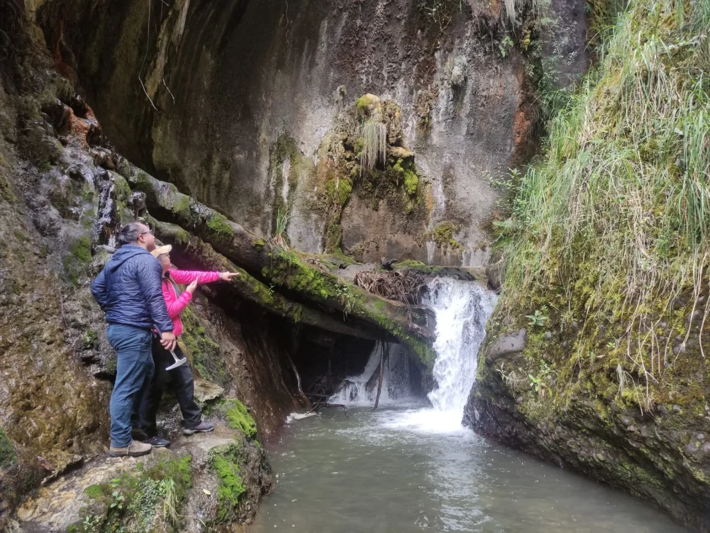
13

Mining and Geotechnics2021Curimining S.A. mining project - Las Naves

Geotechnical exploration — Curipamba mining project: geotechnical and geological studies for hydrogeological wells

Geological-geotechnical characterisation and drilling control.

Study of the geological-geotechnical component for access road design, supervision of geotechnical drilling, core logging and field testing.

Browse the 3 photographs
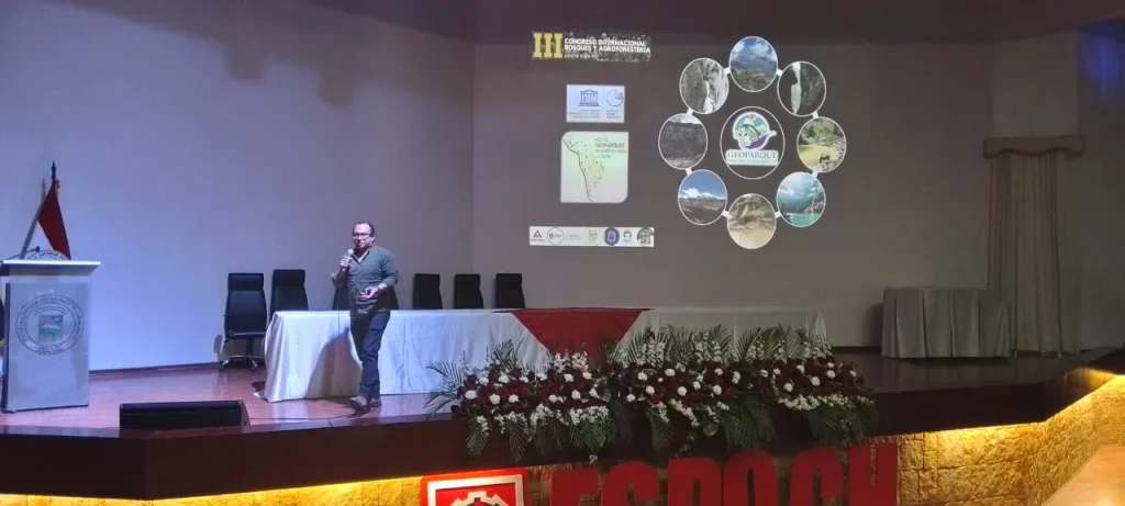
Curimining S.A. mining project - Las Naves · field photograph 1Curimining S.A. mining project - Las Naves · field photograph 2Curimining S.A. mining project - Las Naves · field photograph 3
Field record — Geology and geotechnics of the Hidropalatino hydropower plant (30 MW) 4 photographs ↗
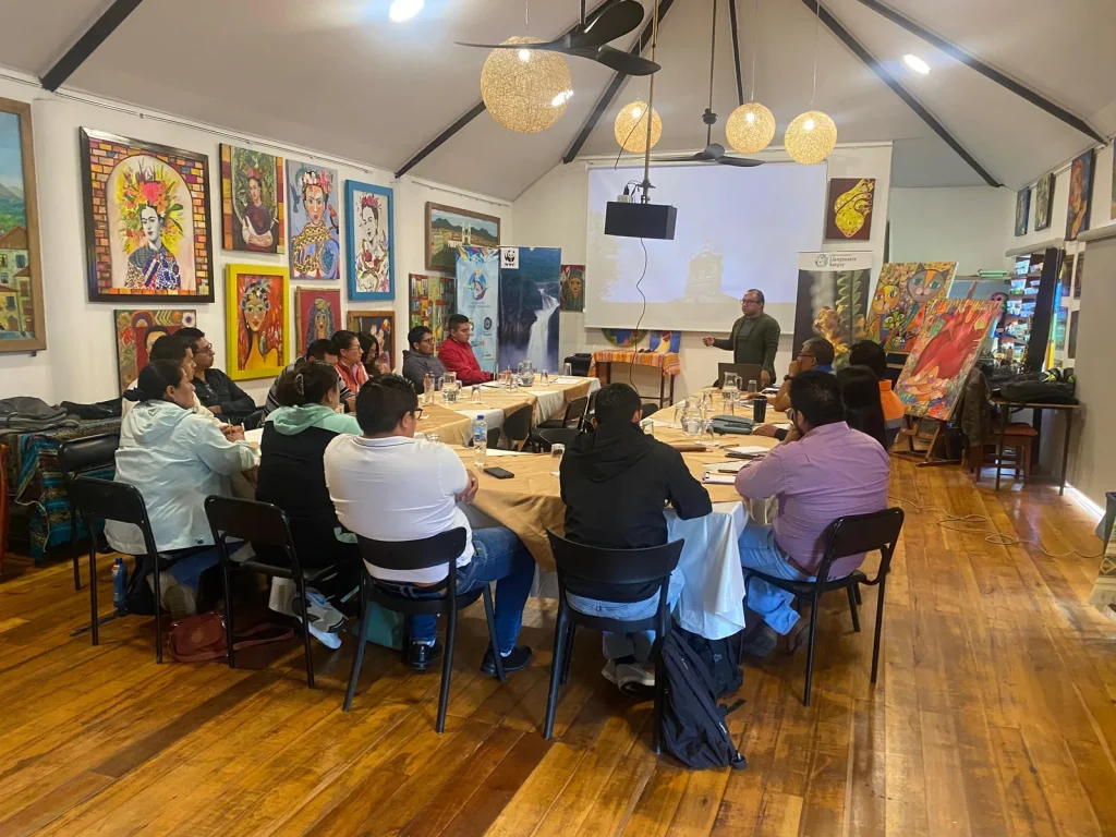
14

Hydropower2021Imbabura - Urcuquí

Geology and geotechnics of the Hidropalatino hydropower plant (30 MW)

Geological-geotechnical characterisation and drilling control.

Supervision of geotechnical drilling, core logging, field tests and geophysical surveys, review and compilation of geotechnical and geophysical investigations, and report preparation.

Browse the 4 photographs
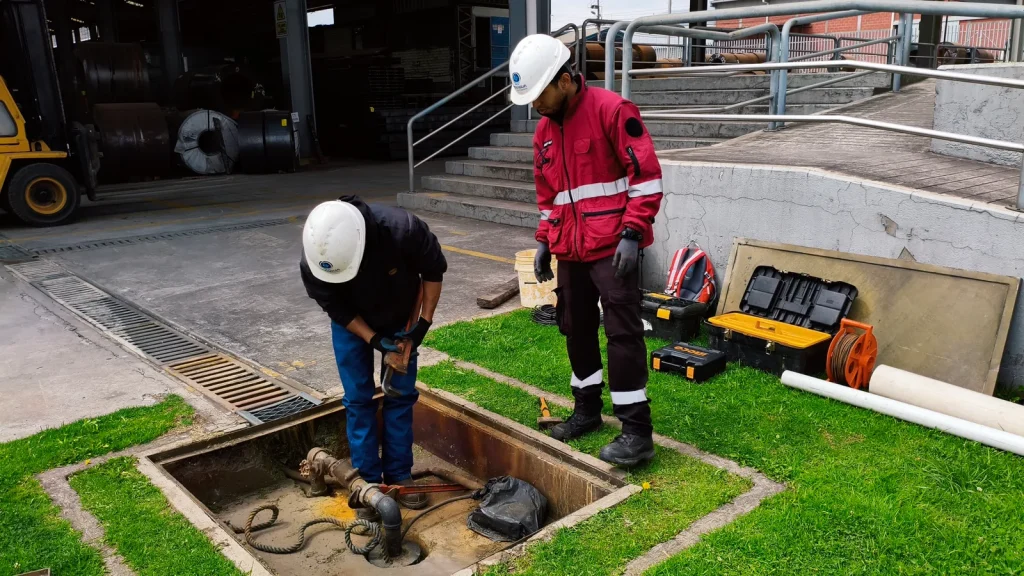
Imbabura - Urcuquí · field photograph 1Imbabura - Urcuquí · field photograph 2Imbabura - Urcuquí · field photograph 3Imbabura - Urcuquí · field photograph 4
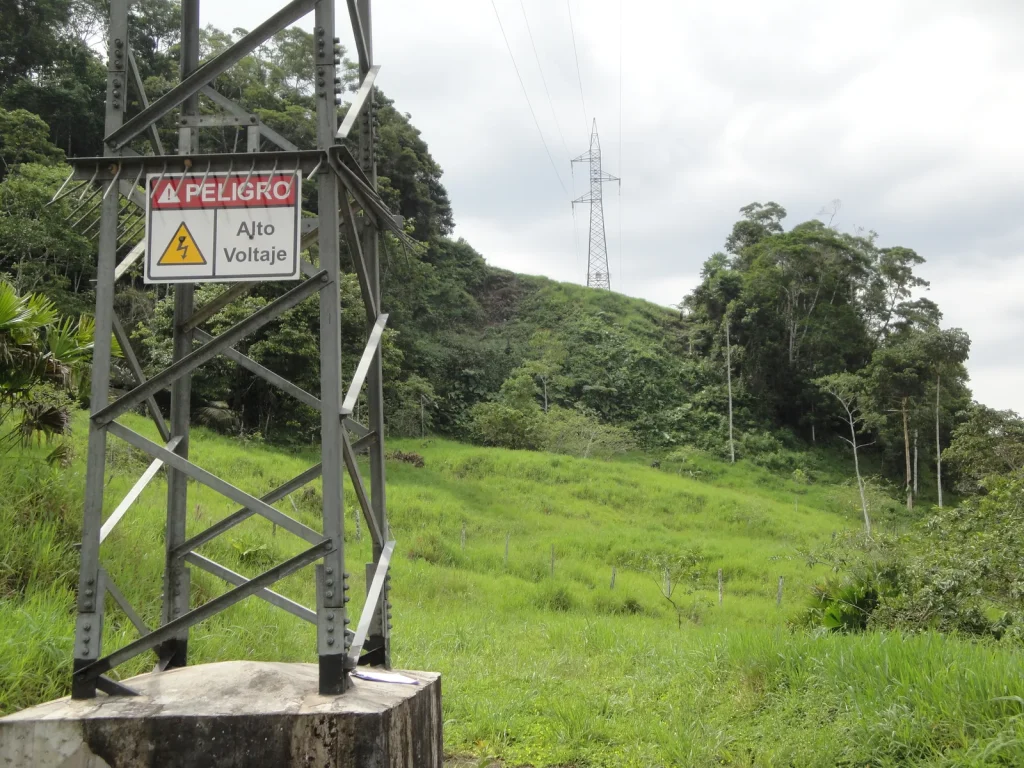
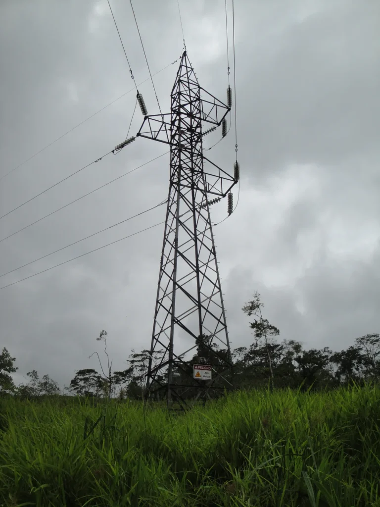
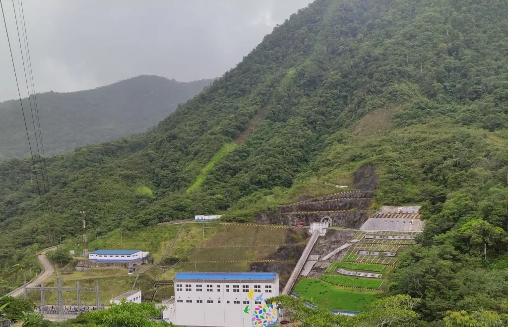
Field record — Environmental Impact Study — Los Encuentros–Cumbaratza 230 kV and Cumbaratza–Delsitanisagua 138 kV transmission lines 4 photographs ↗
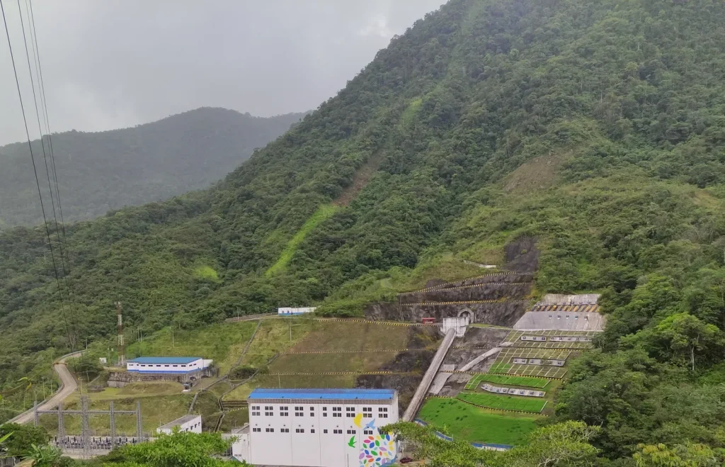
15

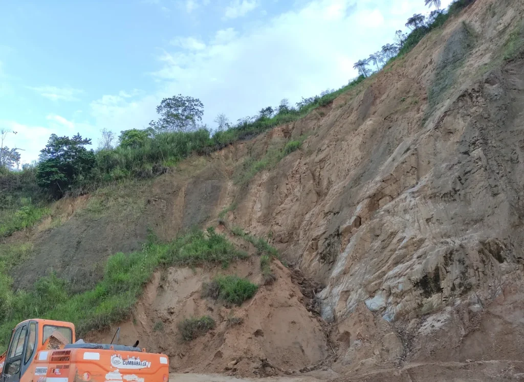
Environmental2021Cumbaratza, Delsitanisagua

Environmental Impact Study — Los Encuentros–Cumbaratza 230 kV and Cumbaratza–Delsitanisagua 138 kV transmission lines

Assessment of the physical component and comprehensive risk analysis.

Survey of the physical, geological, geomorphological and structural components; risk analysis, identification of findings and environmental compliance rating; reports and thematic maps.

Browse the 4 photographs
Cumbaratza, Delsitanisagua · field photograph 1Cumbaratza, Delsitanisagua · field photograph 2Cumbaratza, Delsitanisagua · field photograph 3Cumbaratza, Delsitanisagua · field photograph 4
Field record — Fluvial morphology and slope stability study — Mazar stilling basin 3 photographs ↗
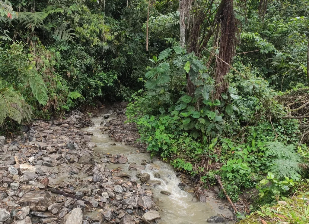
16

Risk management2021Mazar

Fluvial morphology and slope stability study — Mazar stilling basin

Technical supervision and control of geotechnical drilling.

Supervision of geotechnical drilling, core logging, field testing, review and compilation of geotechnical and geophysical investigations, and report preparation.

Browse the 3 photographs
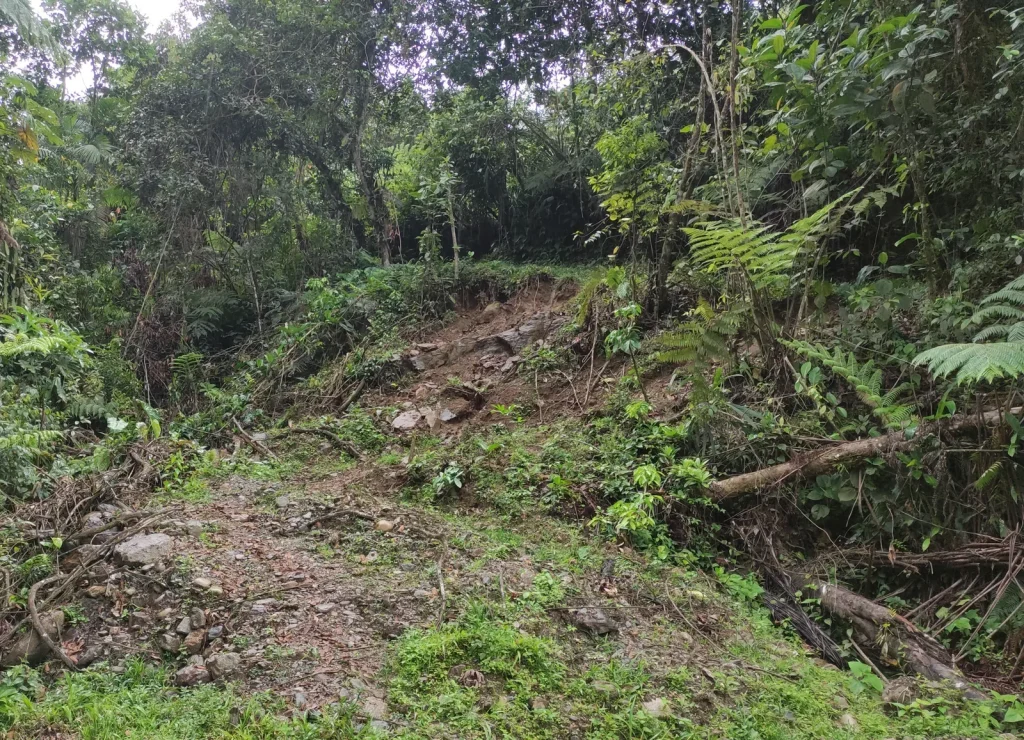
Mazar · field photograph 1Mazar · field photograph 2Mazar · field photograph 3
Field record — Environmental audit of seismic surveys — blocks 11, 12, 15 and 18 4 photographs ↗
17

Environmental Management2021Pañacocha, Cedros Garzacocha

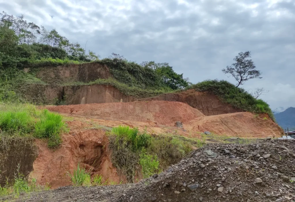
Environmental audit of seismic surveys — blocks 11, 12, 15 and 18

Assessment of the physical component and comprehensive risk analysis.

Survey of the physical, geological, geomorphological and structural components; risk analysis, identification of findings and environmental compliance rating; reports and thematic maps.

Browse the 4 photographs
Pañacocha, Cedros Garzacocha · field photograph 1Pañacocha, Cedros Garzacocha · field photograph 2Pañacocha, Cedros Garzacocha · field photograph 3Pañacocha, Cedros Garzacocha · field photograph 4
Field record — Biennial environmental audits of the Shushufindi area — Block 57, development and production phase 4 photographs ↗
18

Environmental Management2021Shushufindi

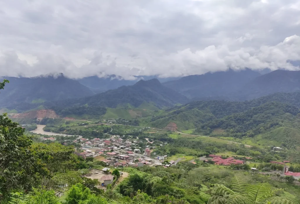
Biennial environmental audits of the Shushufindi area — Block 57, development and production phase

Assessment of the physical component and comprehensive risk analysis.

Survey of the physical, geological, geomorphological and structural components; risk analysis, identification of findings and environmental compliance rating; reports and thematic maps.

Browse the 4 photographs
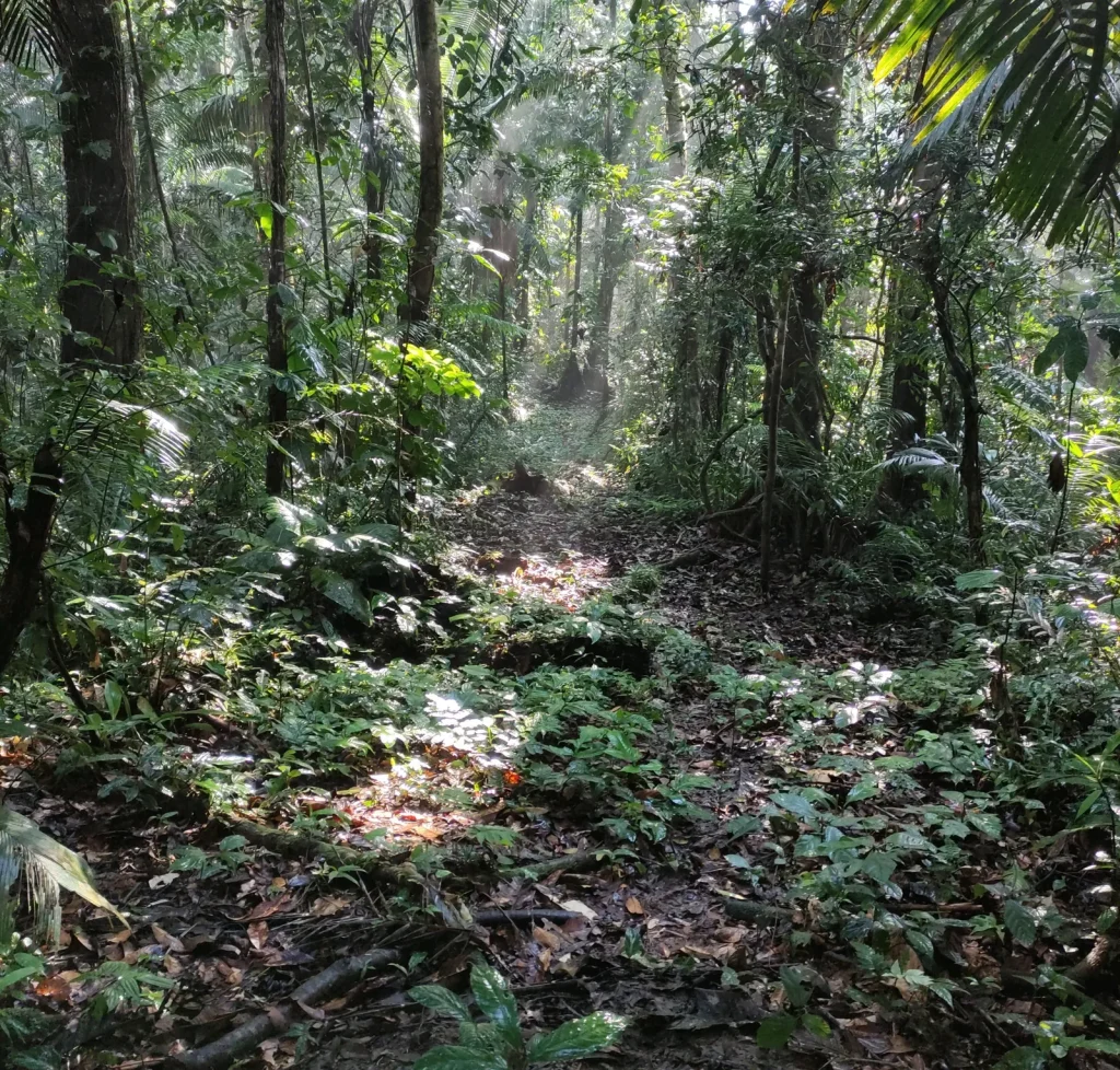
Shushufindi · field photograph 1Shushufindi · field photograph 2Shushufindi · field photograph 3Shushufindi · field photograph 4
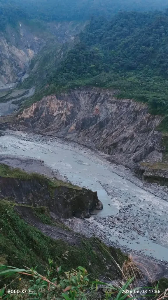
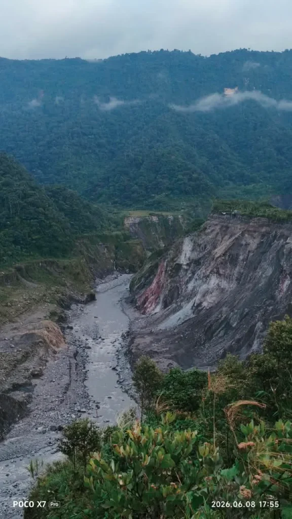
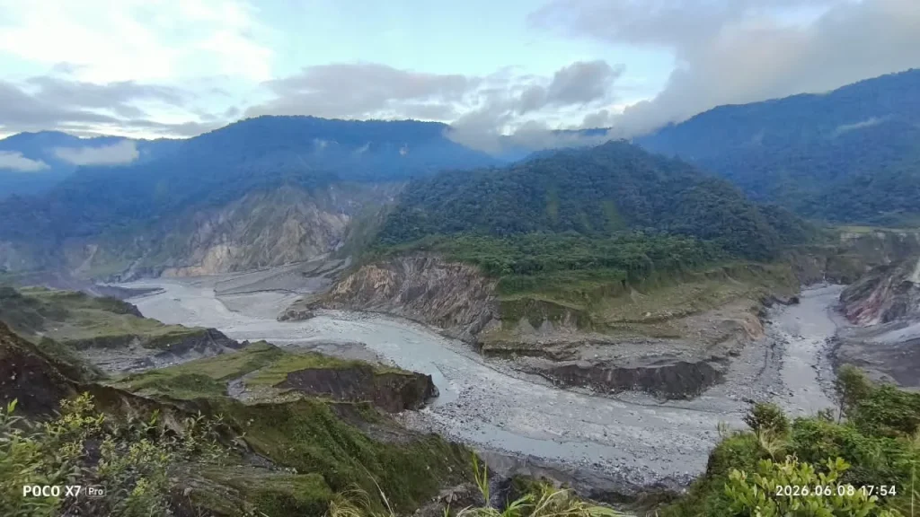
Field record — Supplementary geotechnical drilling investigations — regressive erosion of the Coca River 8 photographs ↗
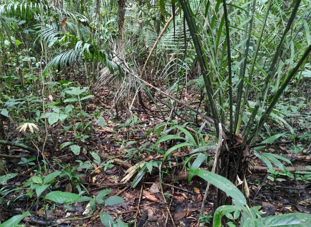
19

Geotechnics2020 - 2021El Chaco – San Luis

Supplementary geotechnical drilling investigations — regressive erosion of the Coca River

Operational control and validation of geotechnical studies.

Supervision of geotechnical drilling, core logging and report preparation.

Browse the 8 photographs
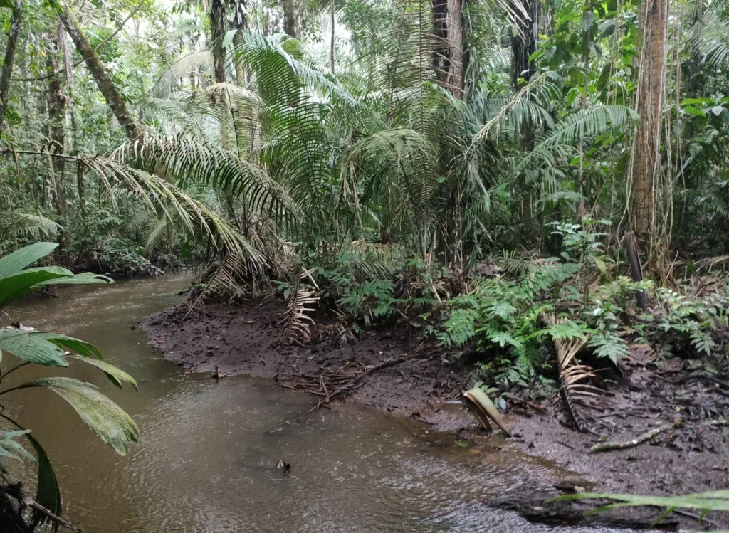
El Chaco – San Luis · field photograph 1El Chaco – San Luis · field photograph 2El Chaco – San Luis · field photograph 3El Chaco – San Luis · field photograph 4El Chaco – San Luis · field photograph 5El Chaco – San Luis · field photograph 6El Chaco – San Luis · field photograph 7El Chaco – San Luis · field photograph 8
Field record — Supplementary geotechnical investigations to verify the safety of the Toachi–Alluriquín tunnel 2 photographs ↗
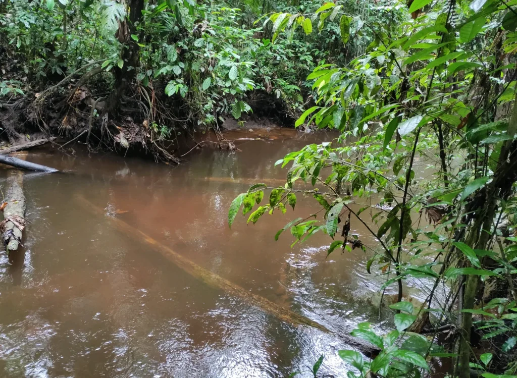
20

Geotechnics2020Santo Domingo - Alluriquín

Supplementary geotechnical investigations to verify the safety of the Toachi–Alluriquín tunnel

Supervision and on-site technical residency.

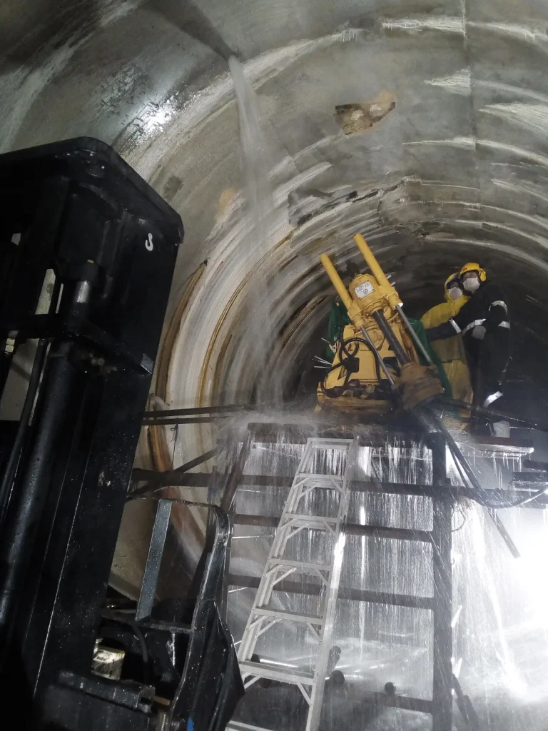
Supervision of geotechnical drilling, pressure tests, hydrological and hydrogeological analysis, review and compilation of investigations, main and pressure reports, and drawing design.

Browse the 2 photographs
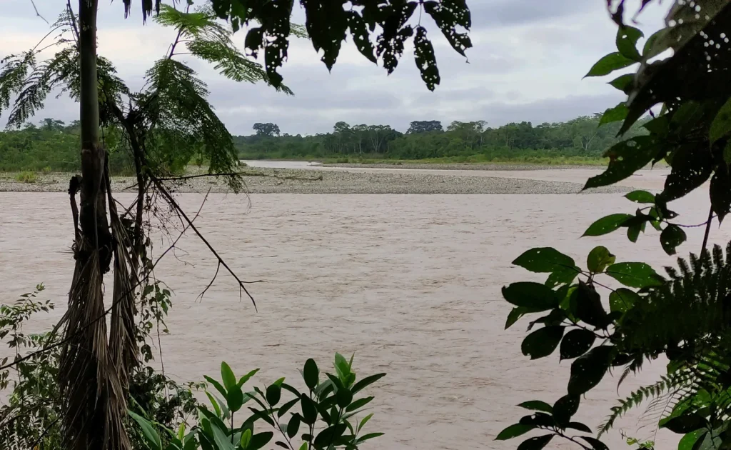
Santo Domingo - Alluriquín · field photograph 1Santo Domingo - Alluriquín · field photograph 2
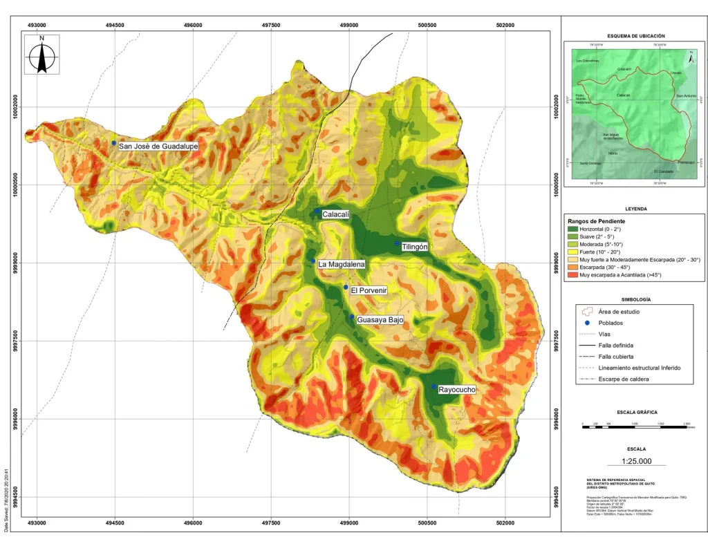
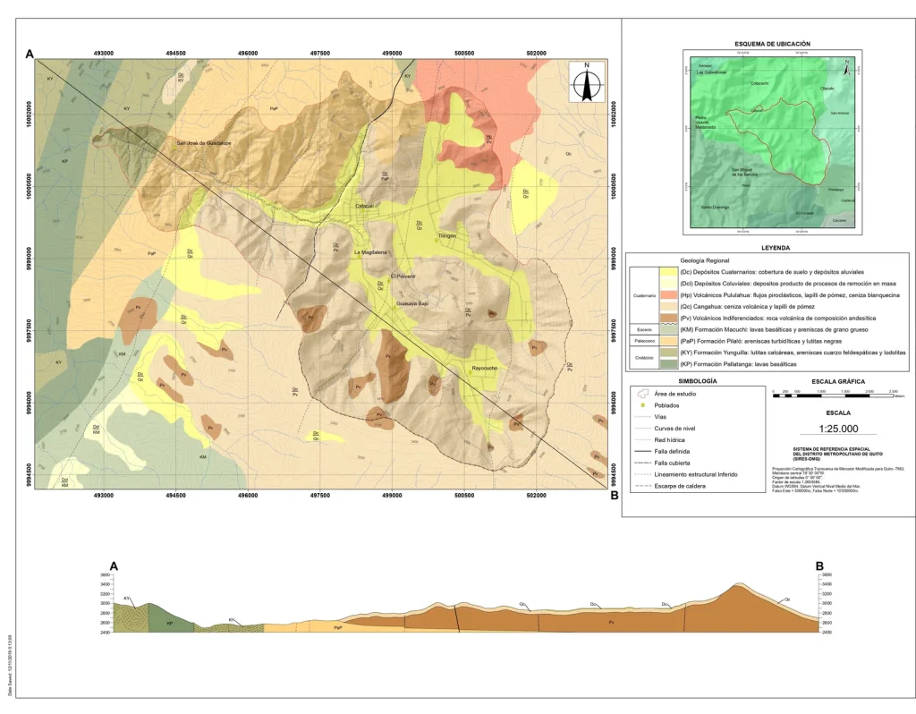
Field record — Hydrogeological study of the groundwater of the Rayocucho–Calacalí basin 6 photographs ↗
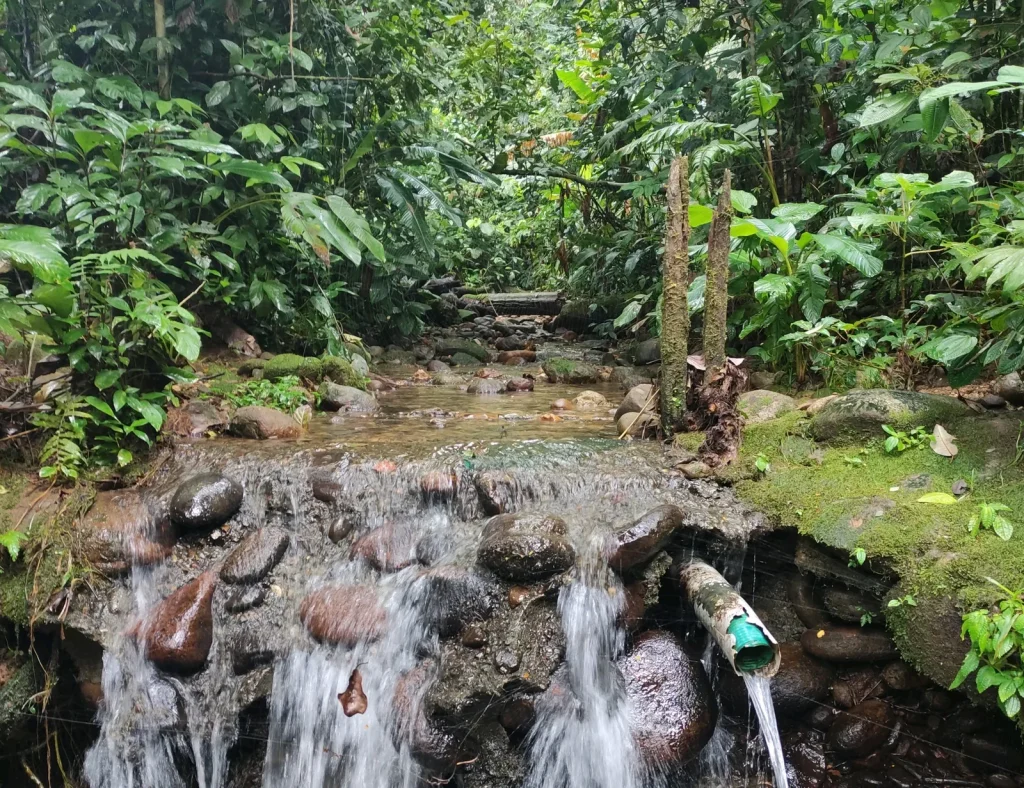
21

Hydrogeology and Water Resources2019 - 2020Quito - Calacalí

Hydrogeological study of the groundwater of the Rayocucho–Calacalí basin

Project direction and management.

Direction and supervision of investigations, geological and hydrogeological field surveys, analysis, review and compilation of results during the pre-feasibility and feasibility stages; unit price analysis, project management and logistics; preparation and review of the main, interim and final reports.

Browse the 6 photographs
Quito - Calacalí · field photograph 1Quito - Calacalí · field photograph 2Quito - Calacalí · field photograph 3Quito - Calacalí · field photograph 4Quito - Calacalí · field photograph 5Quito - Calacalí · field photograph 6
Field record — Verification of the grout curtains of the Toachi dam and Pilatón intake 4 photographs ↗

22

Geotechnics2019 - 2020Santo Domingo - Alluriquín

Verification of the grout curtains of the Toachi dam and Pilatón intake

Operational control and geotechnical drilling control.

Analysis of investigations carried out during the pre-feasibility and feasibility stages of the hydropower project; supervision of geotechnical and geophysical investigations.

Browse the 4 photographs
Santo Domingo - Alluriquín · field photograph 1Santo Domingo - Alluriquín · field photograph 2Santo Domingo - Alluriquín · field photograph 3Santo Domingo - Alluriquín · field photograph 4
Field record — Ex post Environmental Impact Study — Puyo, Quevedo and Guayas transmission systems 4 photographs ↗

23

Environmental Management2019 - 2020El Chaco

Ex post Environmental Impact Study — Puyo, Quevedo and Guayas transmission systems

Assessment of the physical component and comprehensive risk analysis.

Field survey of the physical environment and its geological, geomorphological and structural features; risk analysis; technical reports.

Browse the 4 photographs
El Chaco · field photograph 1El Chaco · field photograph 2El Chaco · field photograph 3El Chaco · field photograph 4
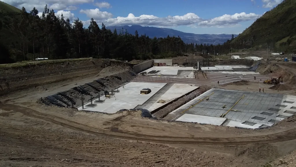
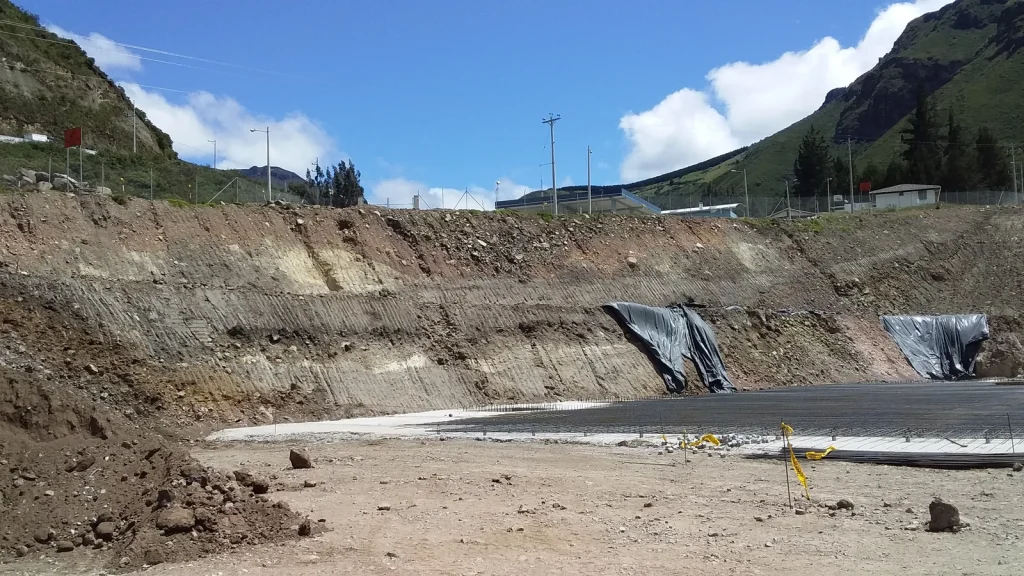
Field record — Final designs for the expansion of the Paluguillo drinking water treatment plant 5 photographs ↗

24

Geology and Geotechnics2019Paluguillo

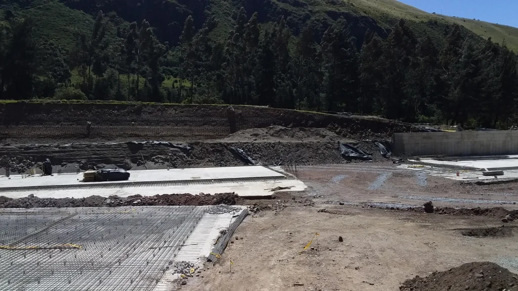
Final designs for the expansion of the Paluguillo drinking water treatment plant

Geological-geotechnical characterisation, thematic mapping and technical reports.

Geological-geotechnical field surveys of the expansion area and storage tanks, thematic maps and technical reports.

Browse the 5 photographs
Paluguillo · field photograph 1Paluguillo · field photograph 2Paluguillo · field photograph 3Paluguillo · field photograph 4Paluguillo · field photograph 5
Field record — Final design of the Calderón drinking water treatment plant 4 photographs ↗

25

Geology and Geotechnics2019Quito - Carapungo

Final design of the Calderón drinking water treatment plant

Geological-geotechnical characterisation, geotechnical drilling control and thematic mapping.

Geological-geotechnical field surveys for the treatment plant and storage tank site; supervision of geotechnical investigations and strength tests, analysis of soil laboratory results and thematic maps.

Browse the 4 photographs
Quito - Carapungo · field photograph 1Quito - Carapungo · field photograph 2Quito - Carapungo · field photograph 3Quito - Carapungo · field photograph 4
Field record — Feasibility, environmental impacts and final engineering of the Cuenca–Cumbe Station road (14 km) 5 photographs ↗

26

Roads and infrastructure2019Cuenca

Feasibility, environmental impacts and final engineering of the Cuenca–Cumbe Station road (14 km)

Geological-geotechnical characterisation and geotechnical drilling control.

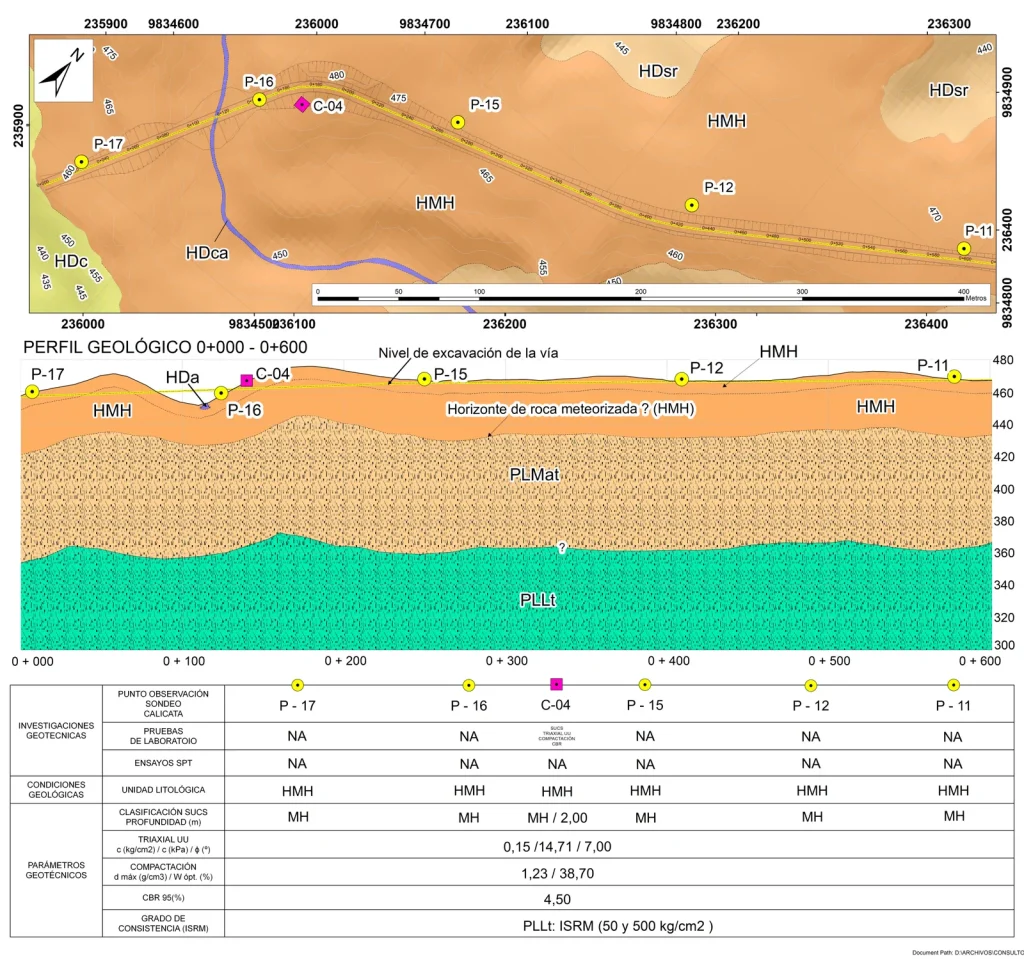
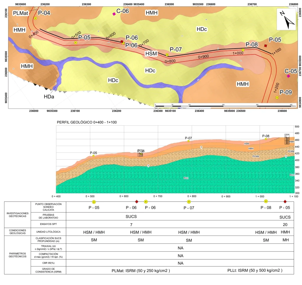
Geological-geotechnical field surveys along the road alignment and supervision of geotechnical drilling.

Browse the 5 photographs
Cuenca · field photograph 1Cuenca · field photograph 2Cuenca · field photograph 3Cuenca · field photograph 4Cuenca · field photograph 5
Field record — Final design of the Tandayapa drinking water system 4 photographs ↗

27

Water Resource Development2018Northwest Quito

Final design of the Tandayapa drinking water system

Geological-geotechnical characterisation, risk assessment and thematic mapping.

Geological field surveys of the intake areas and transmission lines, thematic maps and technical reports.

Browse the 4 photographs
Northwest Quito · field photograph 1Northwest Quito · field photograph 2Northwest Quito · field photograph 3Northwest Quito · field photograph 4
Field record — Optimisation of the drinking water system for the town of El Chaco 4 photographs ↗

28

Water Resource Development2017El Chaco

Optimisation of the drinking water system for the town of El Chaco

Geological-geotechnical characterisation and thematic mapping.

Geological and geotechnical studies for engineering works at the intake areas, transmission lines and storage tank, thematic maps and technical risk reports.

Browse the 4 photographs
El Chaco · field photograph 1El Chaco · field photograph 2El Chaco · field photograph 3El Chaco · field photograph 4
Field record — Hydraulic scour and slope stabilisation of the San Pedro River — Quito–Papallacta aqueduct crossing 5 photographs ↗

29

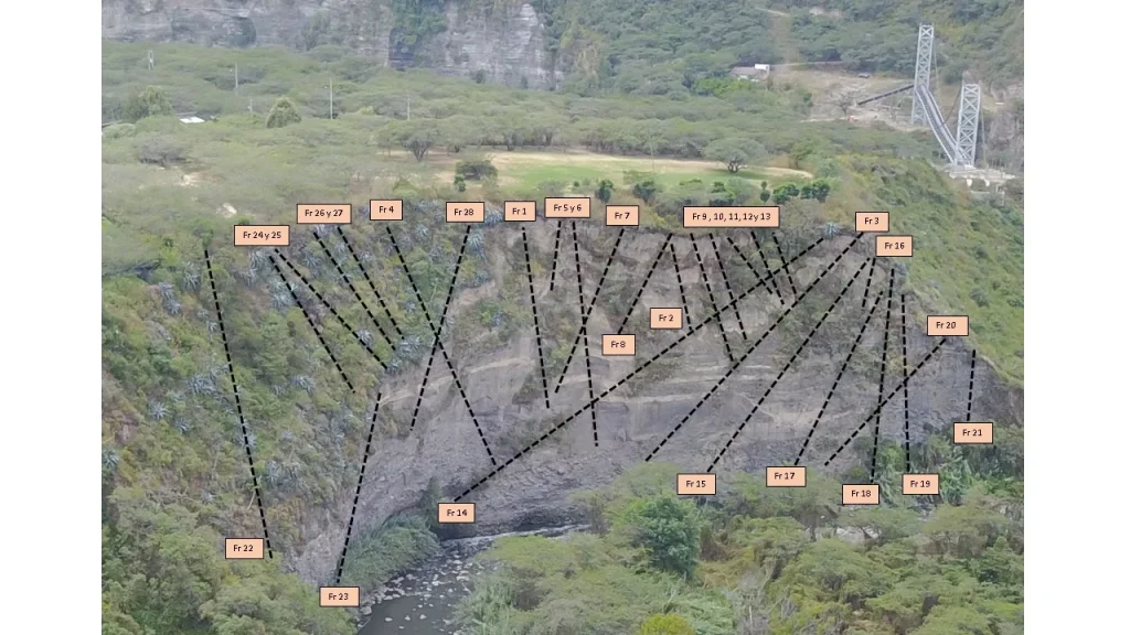
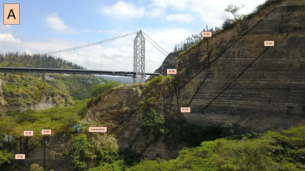
Geology and Geotechnics2017San Pedro River, Cumbayá

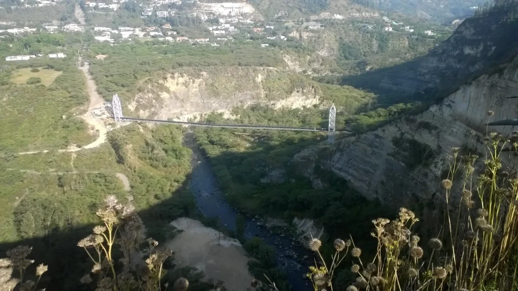
Hydraulic scour and slope stabilisation of the San Pedro River — Quito–Papallacta aqueduct crossing

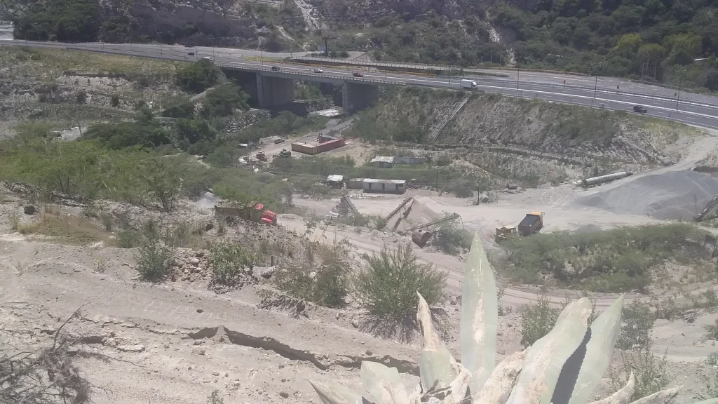
Geological-geotechnical mapping and thematic maps

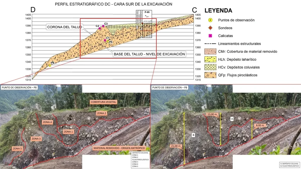
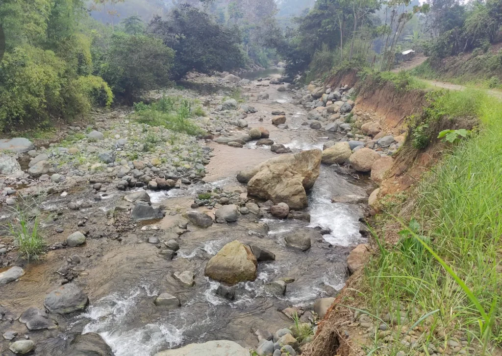
Field data collection, geological columns and characterisation of geotechnical units; thematic maps and logging of geotechnical boreholes.

Browse the 5 photographs
San Pedro River, Cumbayá · field photograph 1San Pedro River, Cumbayá · field photograph 2San Pedro River, Cumbayá · field photograph 3San Pedro River, Cumbayá · field photograph 4San Pedro River, Cumbayá · field photograph 5

Does your project need technical certainty?

We size the scope to the real scale of the works and reply with a proposal.

Request a proposal Message us on WhatsApp

WhatsApp